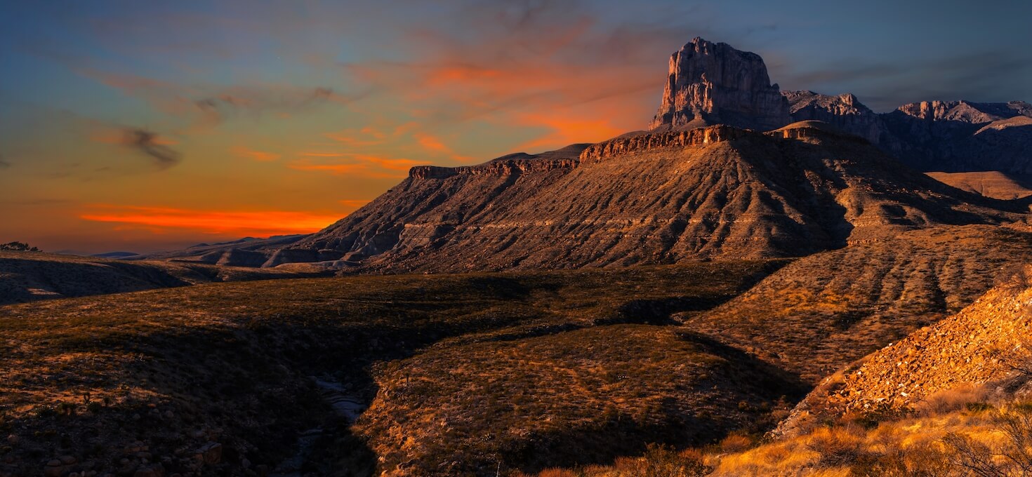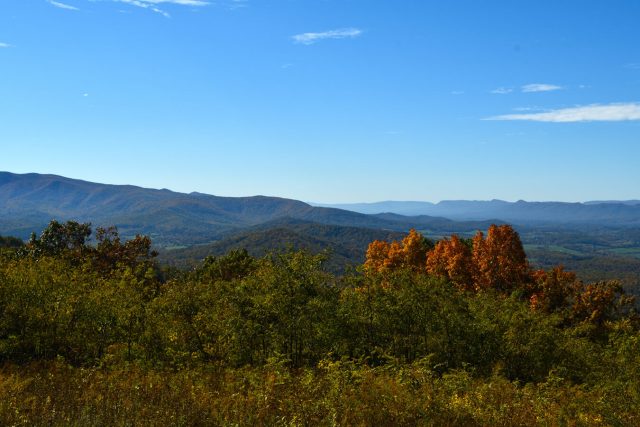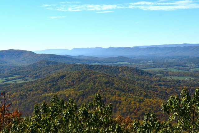
Guadalupe Mountains National Park, located in western Texas, is a rugged and remote wilderness that showcases the dramatic beauty of the Guadalupe Mountains range. The park is home to Guadalupe Peak, the highest point in Texas, and offers a variety of hiking trails that lead to stunning vistas and hidden canyons. Visitors can explore the park’s unique limestone formations, delve into ancient fossil reefs, and witness the diverse desert flora and fauna. The park also preserves the history of early settlers and Native American cultures. Guadalupe Mountains National Park is a sanctuary for nature lovers and a testament to the resilience of the desert landscape.
Map of Guadalupe Mountains National Park:
Top Photography Locations and Sights at Guadalupe Mountains National Park:
As photographers, we know that many of you will only have one chance in a lifetime to visit the National Parks. To make your life easier, we have compiled a list of our top photography locations and sights at Guadalupe Mountains National Park! While this is not comprehensive, and there are many more amazing sights to see, it should give you a good feel for the park.
Please note that Guadalupe Mountains National Park is not a drive through National Park. Many of the hiking trails are rugged, skinny, and steep. You will want to prepare for your hikes ahead of time and bring plenty of food and water as well as obtain trail guides from the park rangers.
That said, there are several park entrances which give access to hiking trails, stunning viewpoints just outside the park, as well as Visitor Centers. Please check the park website for current road conditions, most up-to-date information on hours of operation, trail conditions, and any other relevant details for your trip.
Frijole Ranch
Located off of Highway 62/180, “Frijole Ranch” is a historic site within the Guadalupe Mountains National Park. It was a former cattle ranch and stagecoach stop that offers a glimpse into the history of the area. The ranch includes a visitor center with exhibits about the cultural and natural history of the region, and it serves as a starting point for several hiking trails.
Highway 62/180
Highway 62/180 provides the main access to Guadalupe Mountains National Park. Although technically outside of the park, there are two stunning viewpoints that give spectacular views of El Capitan and Guadalupe Peak that are located along the highway. In addition to these viewpoints, there is also an access point via a small pullout to the Salt Basin Overlook Trail. This access point cuts off several miles of trail and allows you to see El Capitan up close and access the Salt Basin Overlook. You may even see some fossils along the way!
McKittrick Canyon
McKittrick Canyon is famous for its stunning beauty, particularly during the fall months when the foliage changes color, creating a vibrant display of autumn colors in an otherwise arid desert landscape. Visitors to McKittrick Canyon can enjoy hiking trails that lead through the canyon, providing opportunities to experience the unique natural features of the area, including diverse plant life, geological formations, and the tranquil ambiance of the canyon. One of the most popular trails is the McKittrick Canyon Trail, which leads hikers through the heart of the canyon, showcasing its beauty and offering various viewpoints along the way.
Pine Springs
Pine Springs is the main visitor and entrance area for Guadalupe Mountains National Park, located in west Texas, USA. It is the starting point for the popular Guadalupe Peak Trail, which leads to the summit of Guadalupe Peak, the highest point in Texas. This trail provides breathtaking views of the surrounding landscape. Additionally, other trails like the Devil’s Hall Trail and the El Capitan Trail can be accessed from this area.
Salt Basin Dunes
The Salt Basin Dunes are situated in the western part of Guadalupe Mountains National Park. They are not as frequently visited as other areas of the park, making them a quieter and less crowded destination for those who venture to explore them. The main way to access the Salt Basin Dunes is by hiking the Salt Basin Overlook Trail. This trail is approximately 0.8 miles (1.3 km) round-trip and provides visitors with an opportunity to view the dunes from an elevated vantage point. The trail involves some elevation change, including a descent and climb, so visitors should be prepared for a moderate hike.
Dog Canyon/Five Points Vista
Dog Canyon, the park’s remote north district, is only seven miles as the crow files, but a full two hour drive [one-way] from Pine Springs through a panoramic Chihuahuan Desert and mountain landscape. There is a Ranger Station as well as a small campground in Dog Canyon. From here you can access the more rugged and remote backcountry sections of Guadalupe National Park. Located line of sight to Dog Canyon, the Five Points Vista is a scenic overlook near the end of the Guadalupe Rim Road in the Lincoln National Forest’s Guadalupe Ranger District. This viewpoint offers spectacular views of the ‘Rim’ and the Guadalupe Mountains. (NPS)
Guadalupe Mountains National Park Wildlife Photography:
Guadalupe Mountains National Park is filled with wildlife and biodiversity. If you like wildlife photography, you will love what this park has to offer!
Want to learn more about Guadalupe Mountains National Park? Check out these maps, guides & books:
- Guadalupe Mountains National Park Map (National Geographic Trails Illustrated Map)
- Hiking Carlsbad Caverns & Guadalupe Mountains National Parks (Regional Hiking Series)
- Carlsbad Caverns and Guadalupe Mountains National Parks Planning Guide
- Guadalupe Mountains National Park Map & Illustrated Trails: Guide to Hiking and Exploring Guadalupe Mountains National Park
- Guadalupe Mountains National Park: An Environmental History of the Southwest Borderlands
Please note, by making purchases through our affiliate links, you are supporting our mission to celebrate and showcase our National Parks and the photographers who frequent them. As an Amazon Associate, National Park Photographer earns from qualifying purchases at no cost to you. We appreciate your support.
- Vezzani Photography: Fossils, Salt Basin Overlook Trail
- NPS: McKittrick Canyon Trail, Five Points Vista
- NPS / Bieri: Indian Meadow Nature Trail
- Shutterstock / Billy McDonald: Guadalupe Peak Viewpoint, Hunter Line Shack, Manzanita Spring, The Grotto
- Shutterstock / Casey Collum: Hunter Peak
- Shutterstock / G B Hart: Fall Colors
- Shutterstock / Jennifer Nyman: Crevice Spiny Lizard Between Rocks
- Shutterstock / Jon Corso: El Capitan Viewpoint
- Shutterstock / Jonathan Manjeot: Devil’s Hall
- Shutterstock / Kelly vanDellen: Foothills Loop Trail, Guadalupe Peak, Smith Springs, Two Male Barbary Sheep
- Shutterstock / Life Atlas Photography: Pratt Cabin
- Shutterstock / Martha Marks: Female Great-tailed Grackle in Texas Madrone Tree, Northern Mockingbird Profile
- Shutterstock / Moises Mascorro: McKittrick Canyon
- Shutterstock / ShuPhoto: Salt Basin Dunes
- Shutterstock / William Cushman: Female Hepatic Tanager, Male Greater Earless Lizard
- Shutterstock / William Silver: Pinery Trail
Featured National Park Photographers:
Do you want to be featured on National Park Photographer?
Why wait! Contact us today at nationalparkphoto@gmail.com for a chance to be featured as a National Park Photographer!


