Wind Cave National Park, located in South Dakota, is the place where mixed-grass prairies and windy underground caves meet. The first recorded discovery of Wind Cave was in 1881 when Jesse and Tom Bingham heard a loud sound of rushing air. Following the whistling noise created by the air across the open plains, they discovered the entrance to an underground cave in some limestone under a bush. The 10-inch by 16-inch oval-shaped hole blasted the Binghams with a rush of cold air giving the cave the name it has today.
Wind Cave is recognized as the densest cave system in the world and is also one of the longest, containing over 149 miles of explored passageways. Inside the cave, boxwork, popcorn, snowball, and frostwork formations are a few of the speleothems that decorate the surrounding surfaces. Guided tours, when available, are the only way to go inside the cave and see the beautiful chambers and formations that this National Park is famous for. Tours are on a first come first serve basis and require tickets be purchased for a fee.
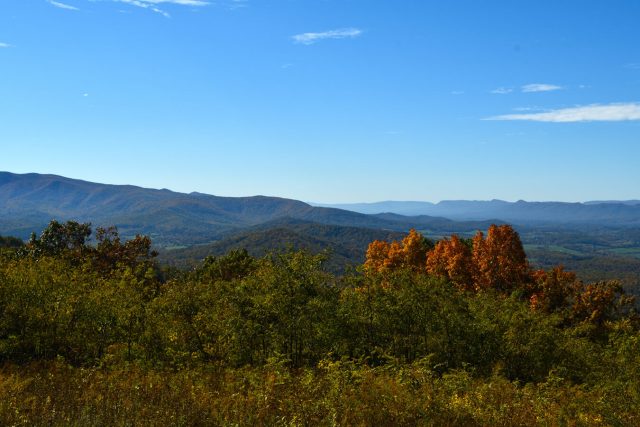
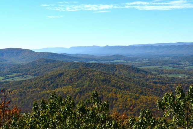
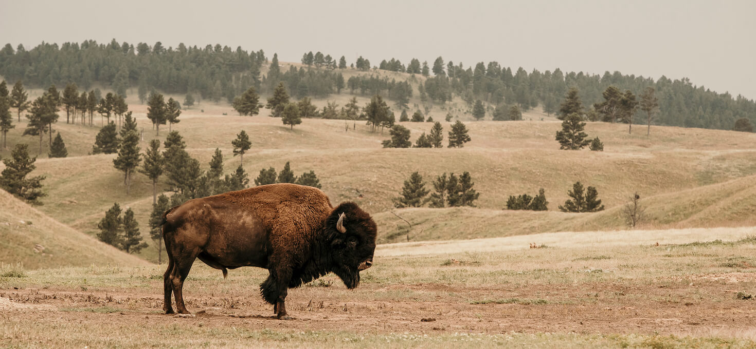
Above ground, explore over 30 miles of hiking trails through mixed-grass prairie and ponderosa pine forest while keeping a sharp eye out for the bison, elk, mountain lions, or other animals that roam throughout the park. If you love wildlife photography, you’ll have plenty of opportunities here. Take advantage of the many trails within the park to see some pretty incredible animals! Be sure to visit the park website for current closures and conditions.