Length: 105 mi (168.98 km)
Elevation Gain: Varies
Route Type: Scenic Drive (with parking areas, pullouts and overlooks)
Difficulty: Easy
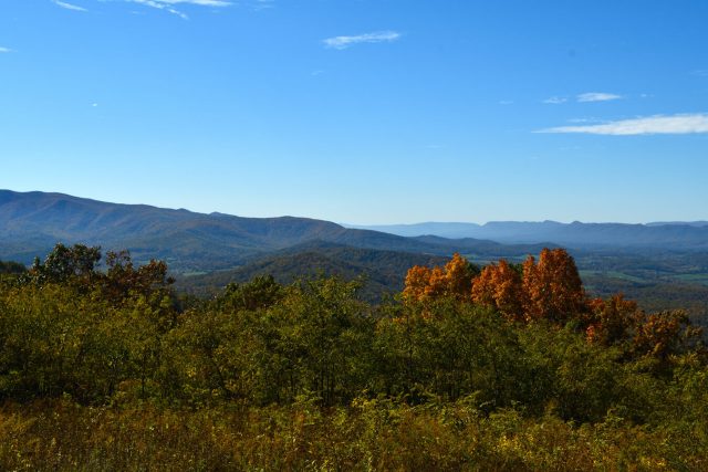
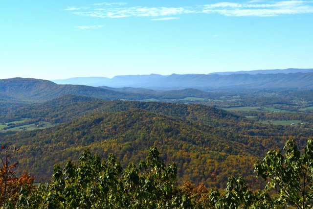
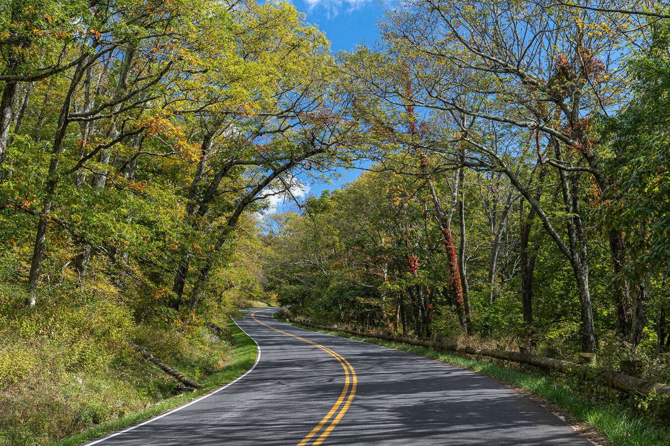
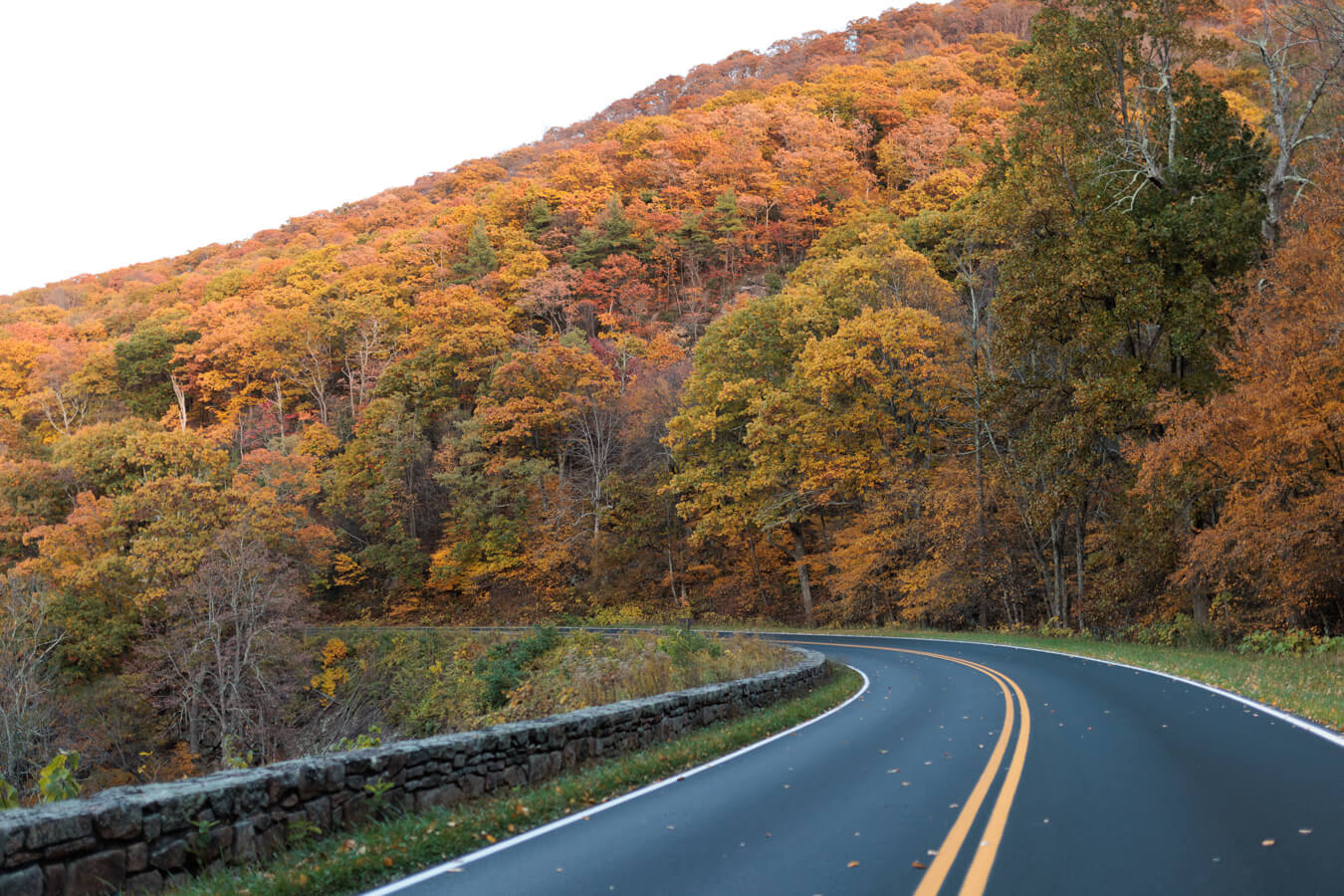
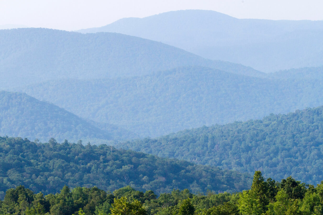
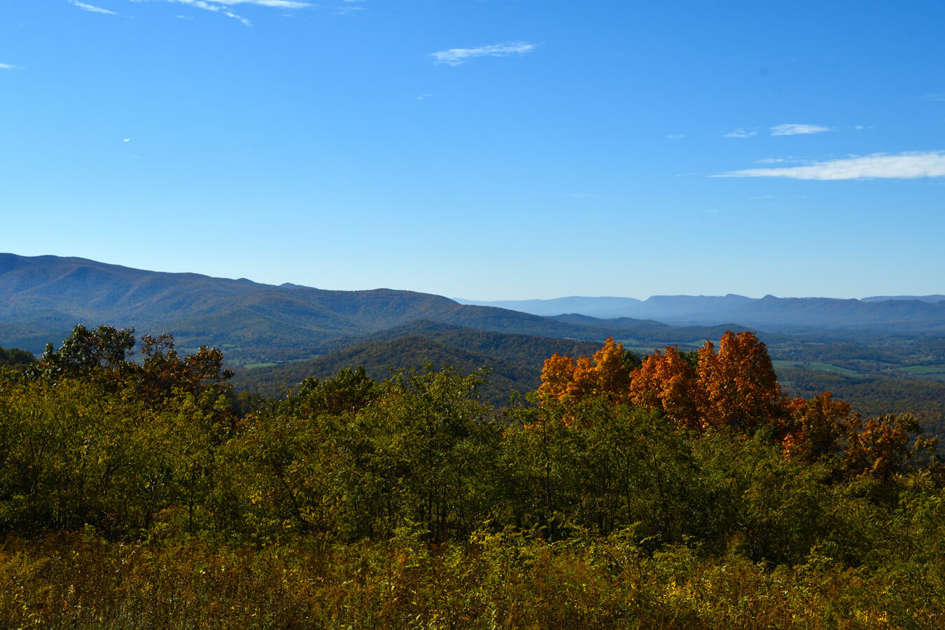
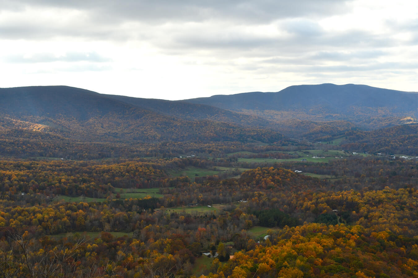
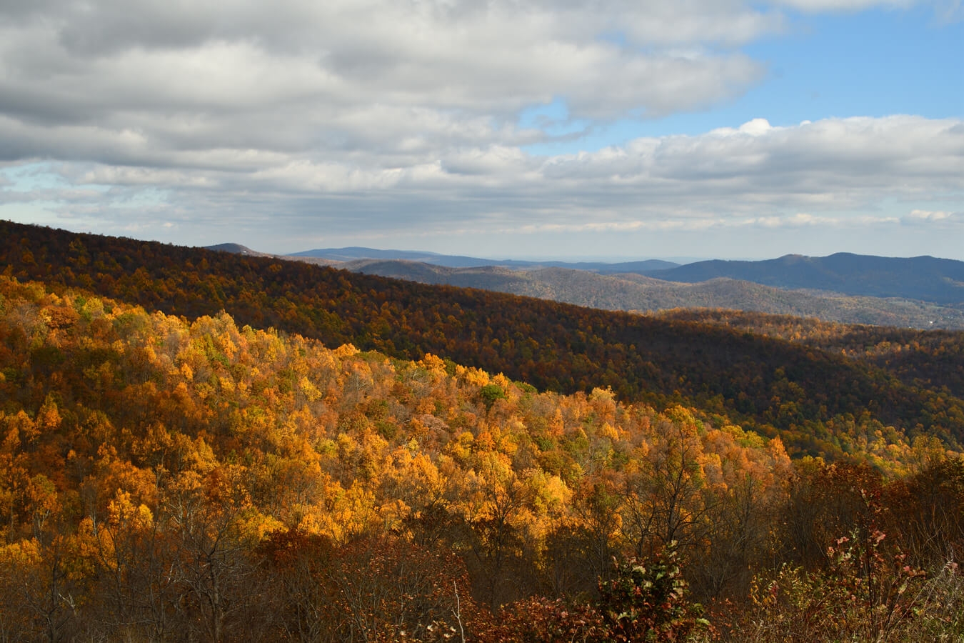
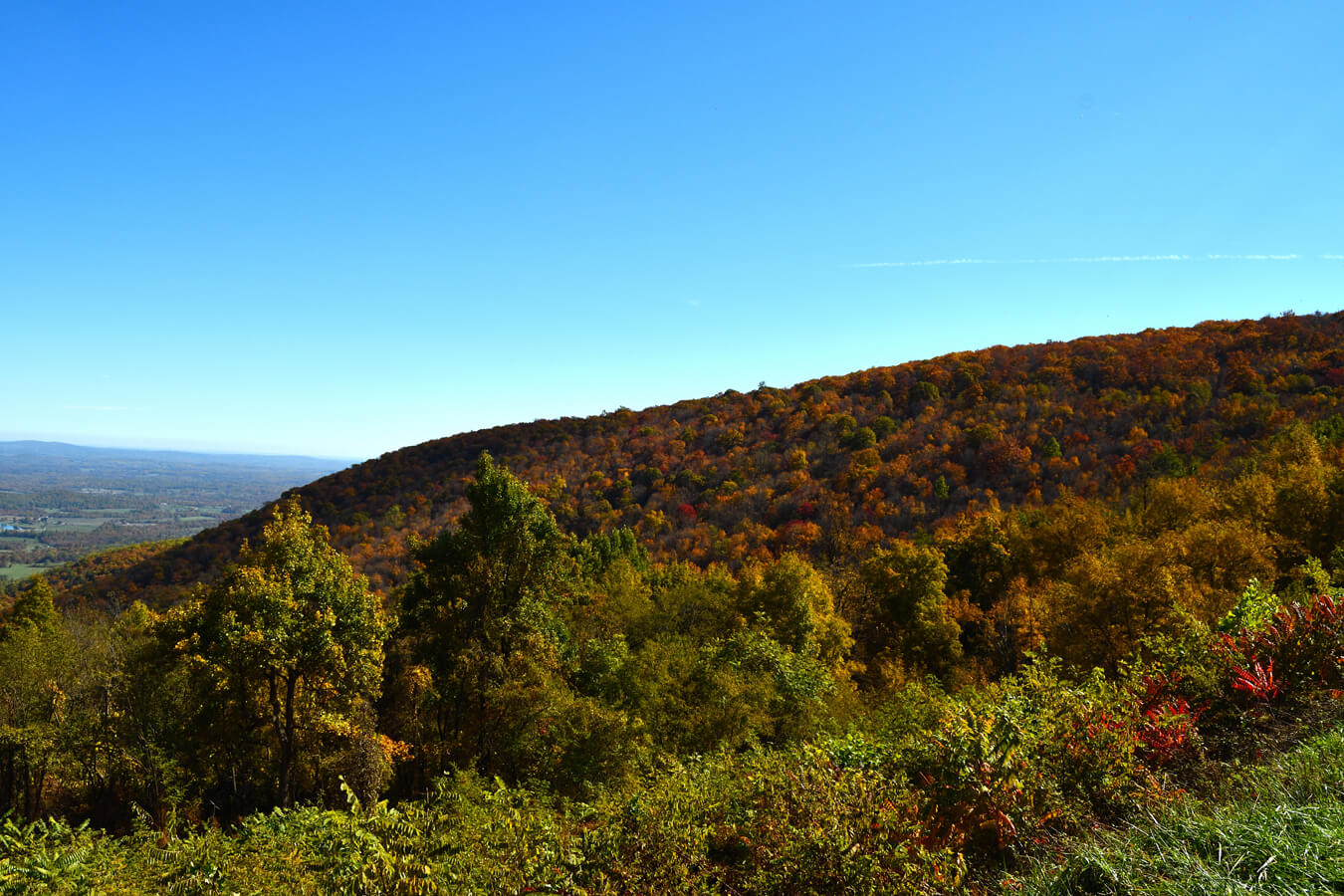
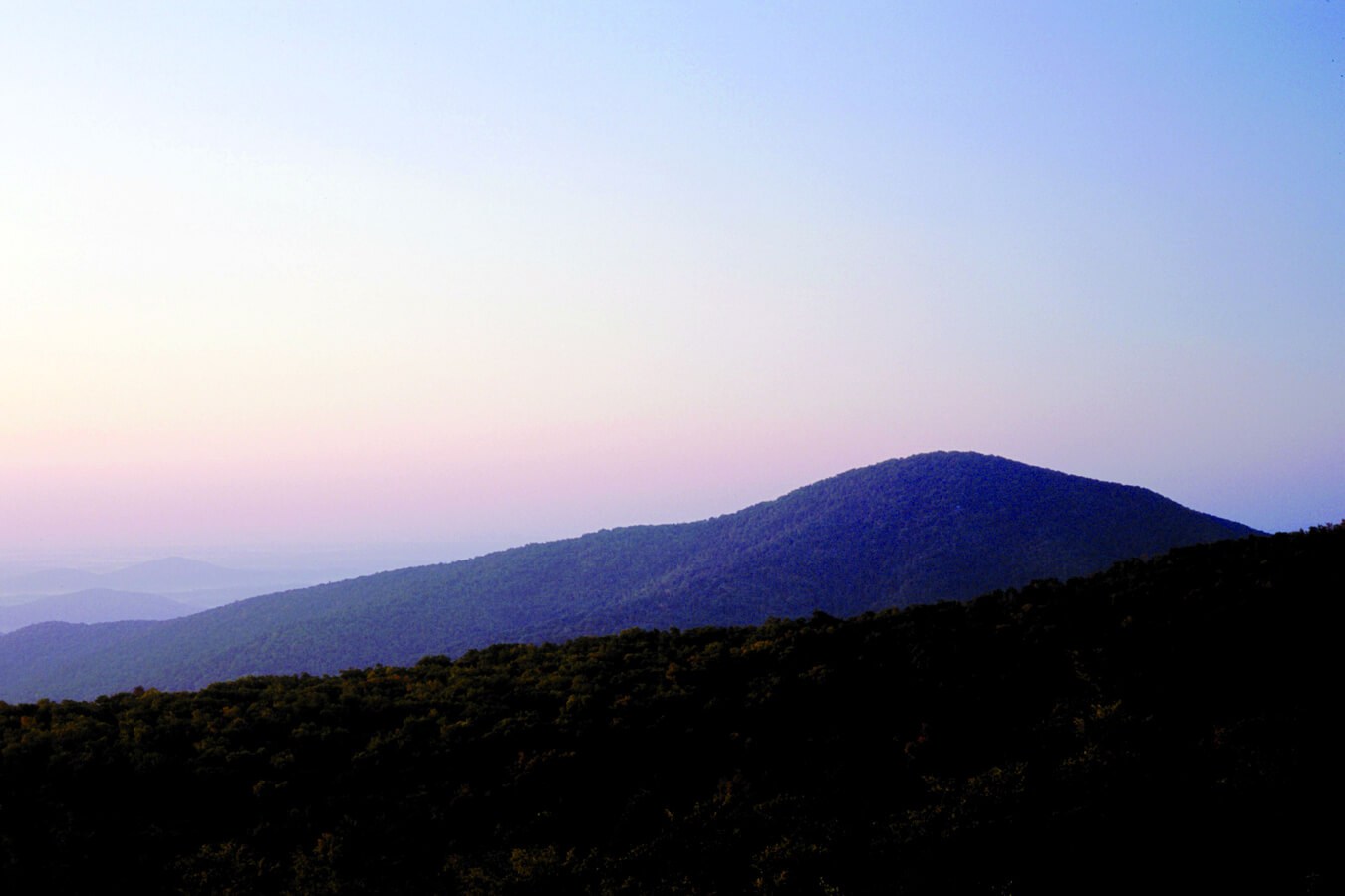
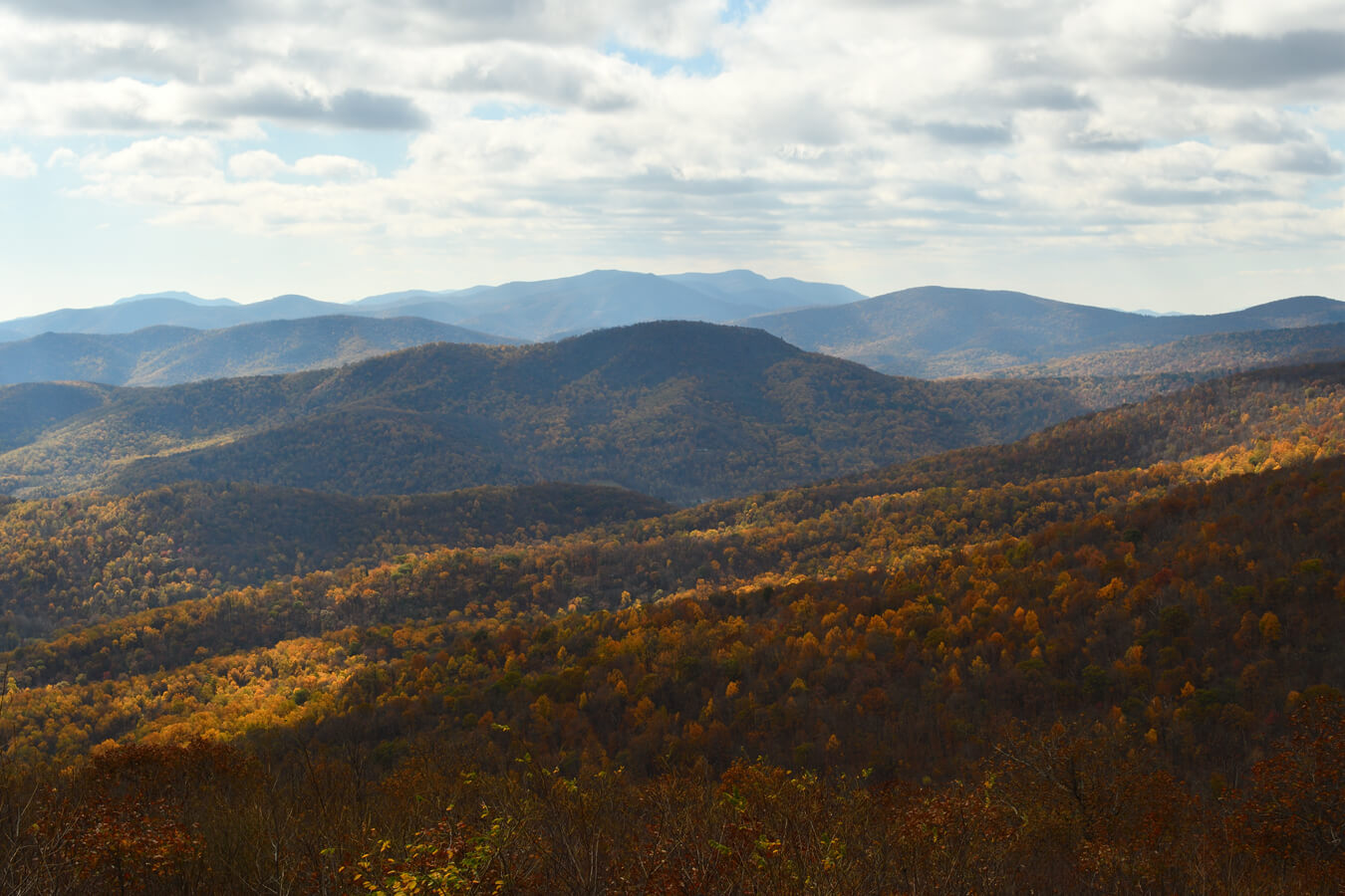
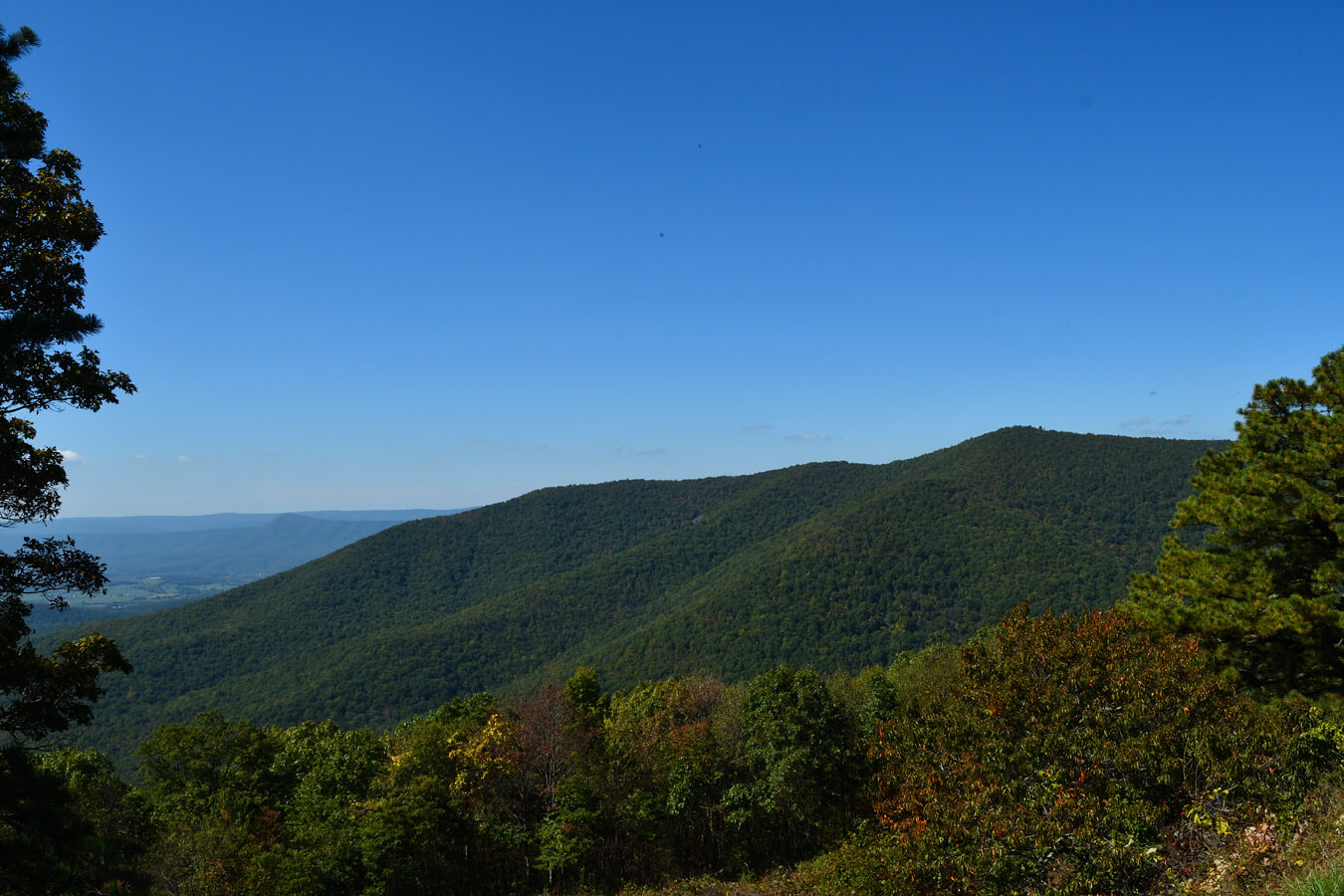
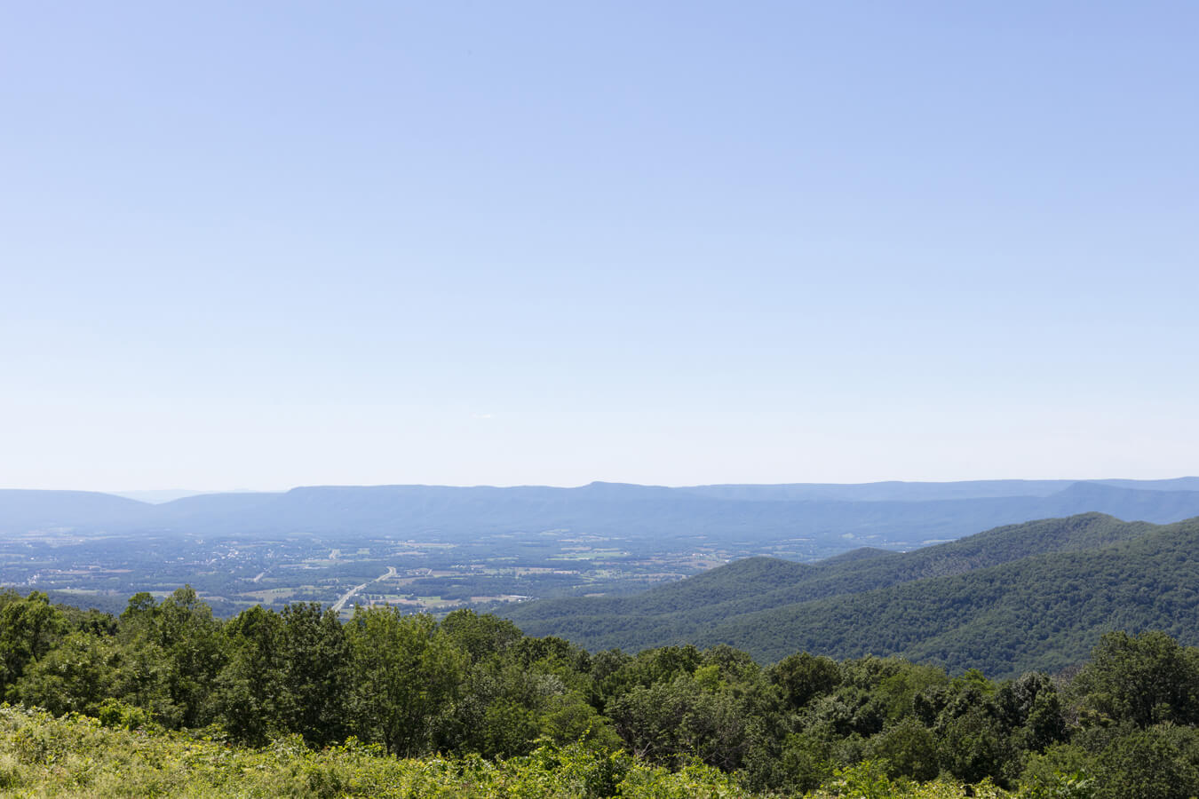
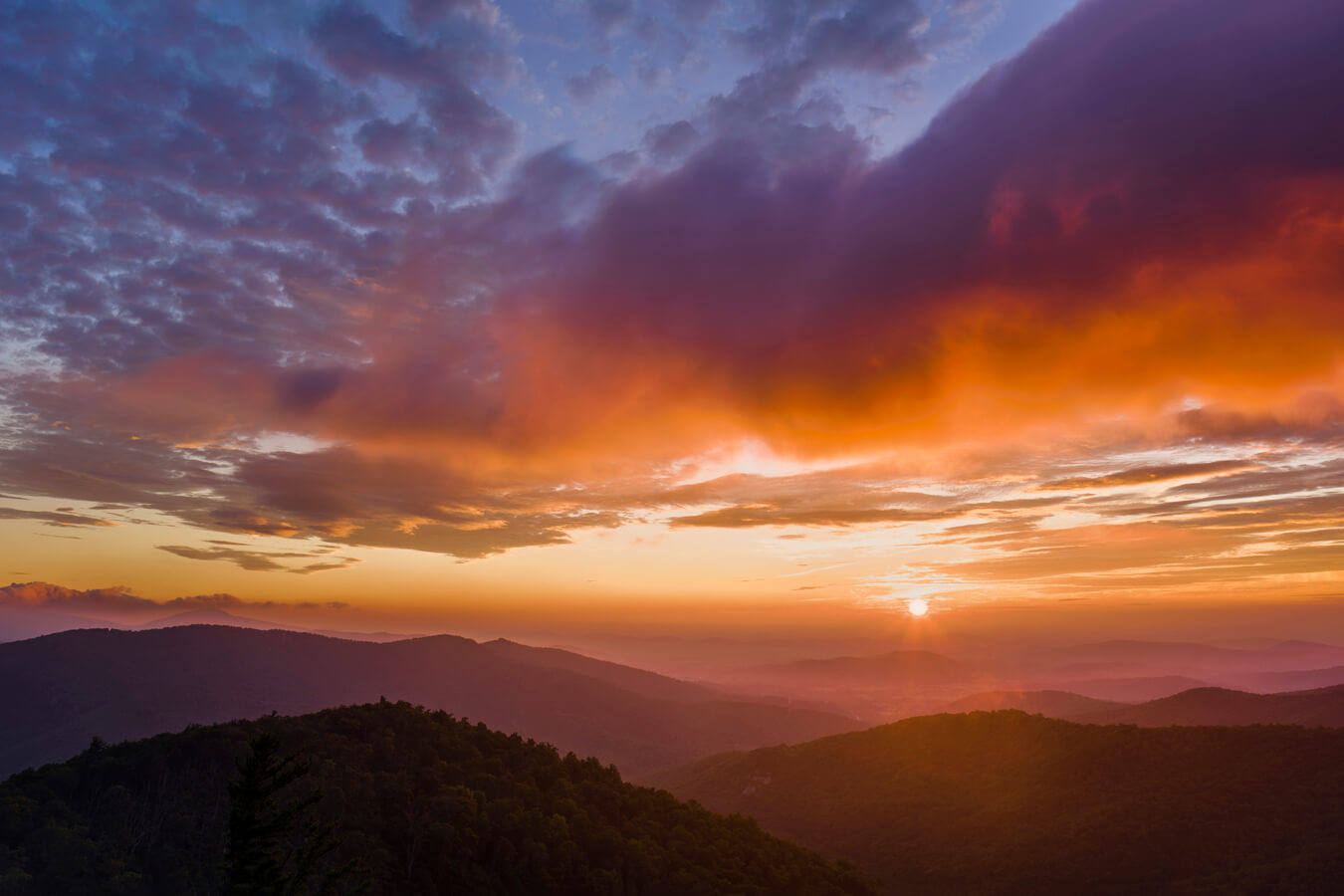
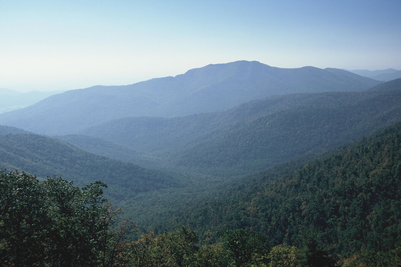
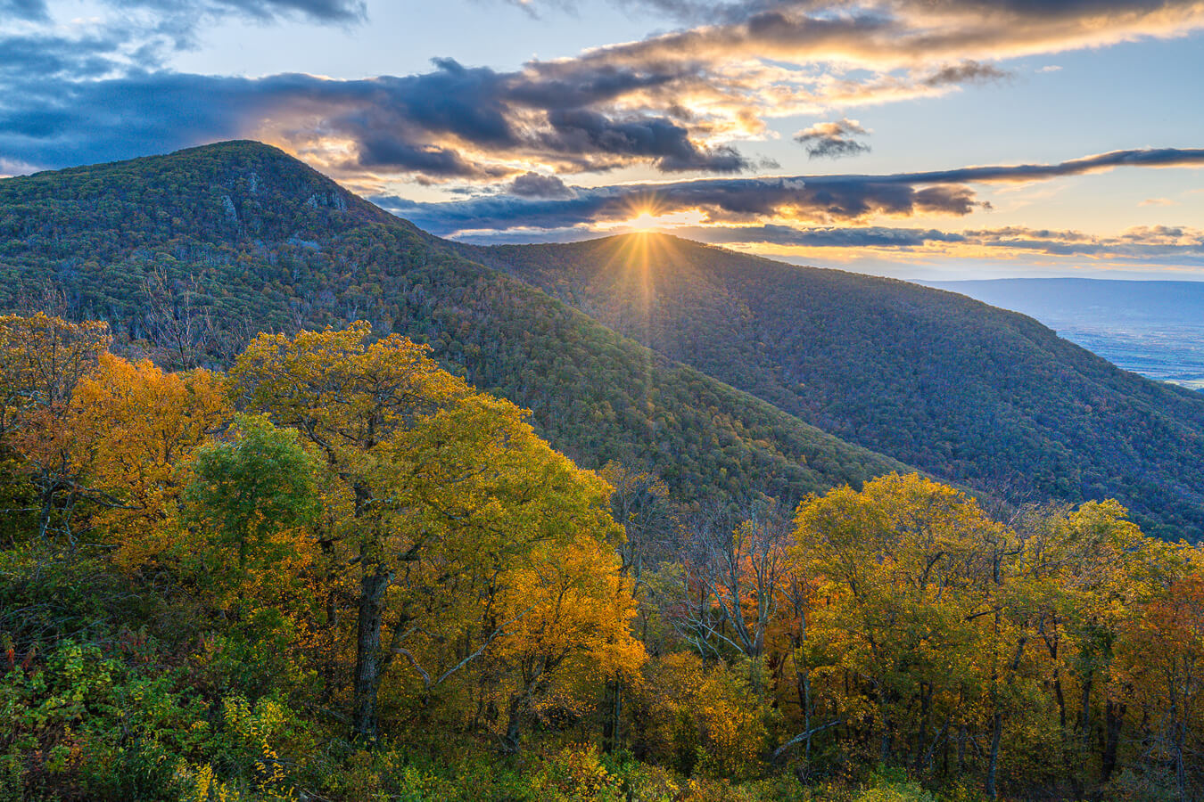
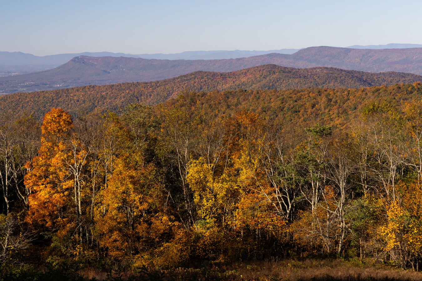
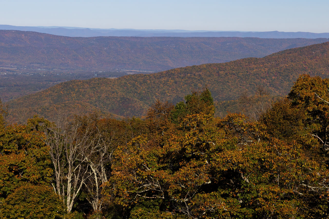
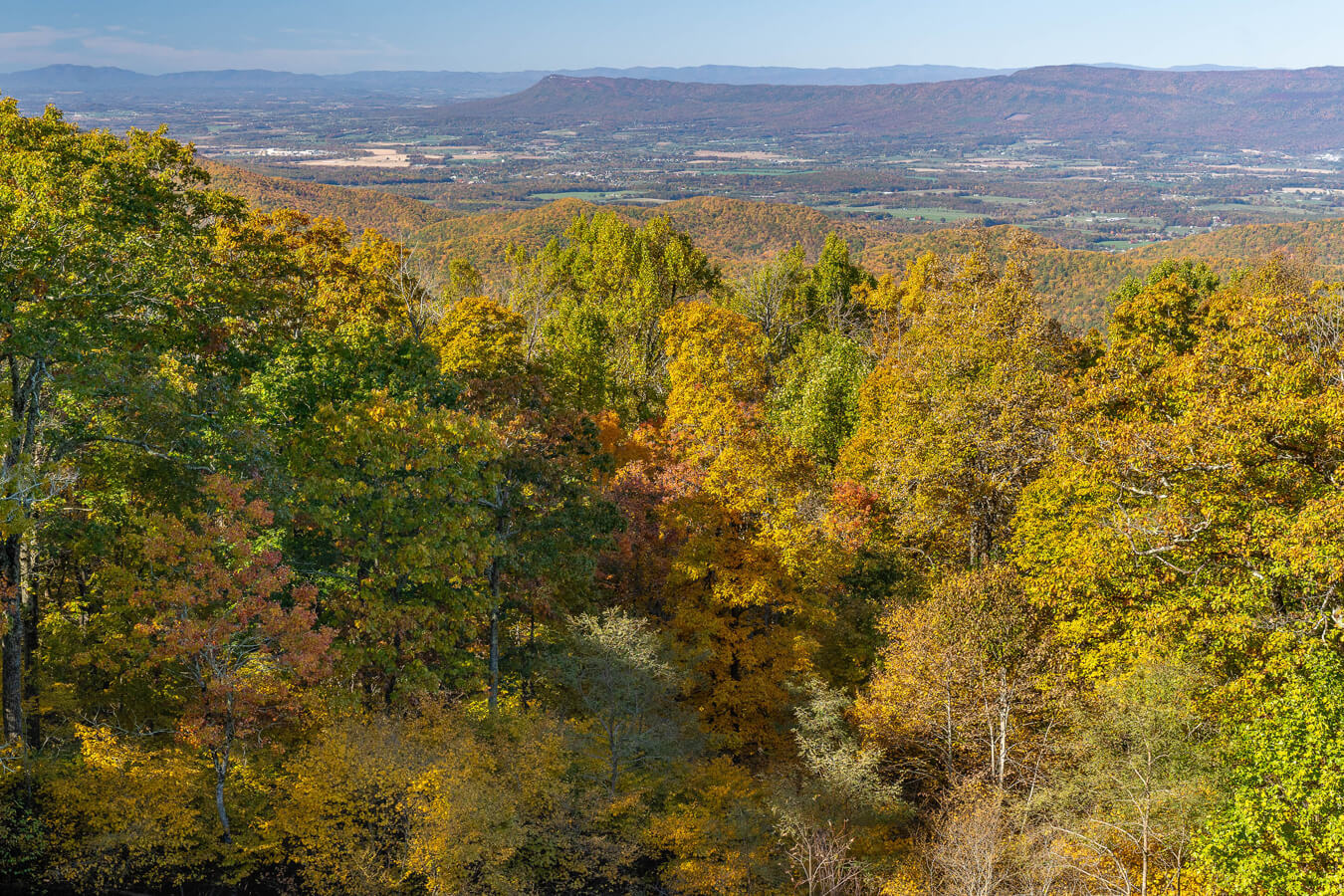
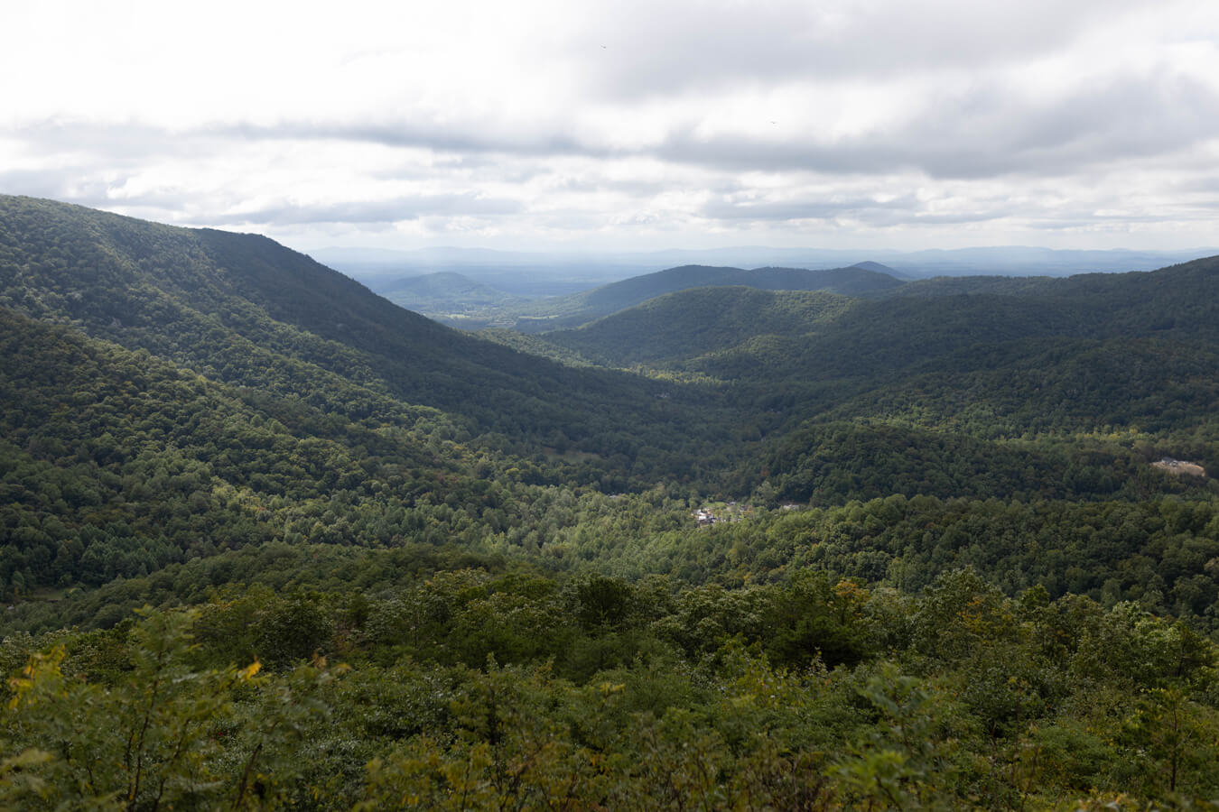
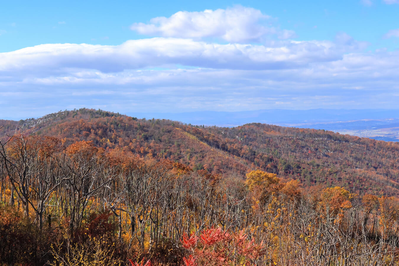
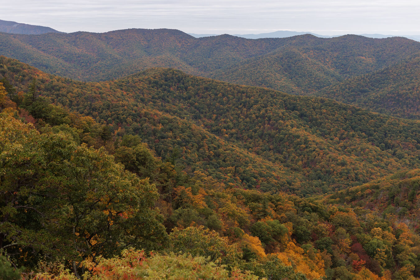
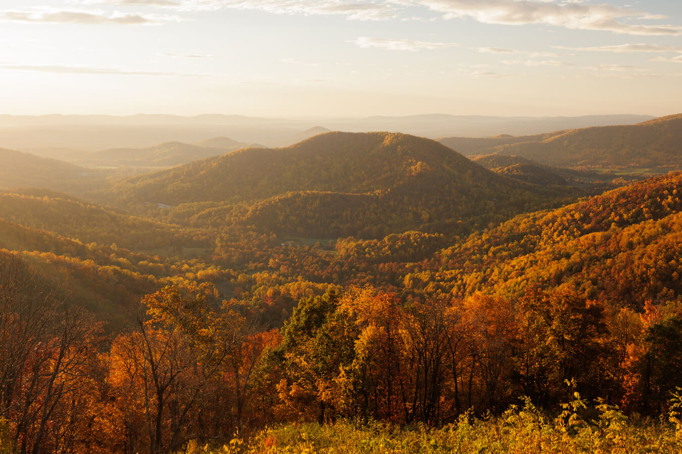
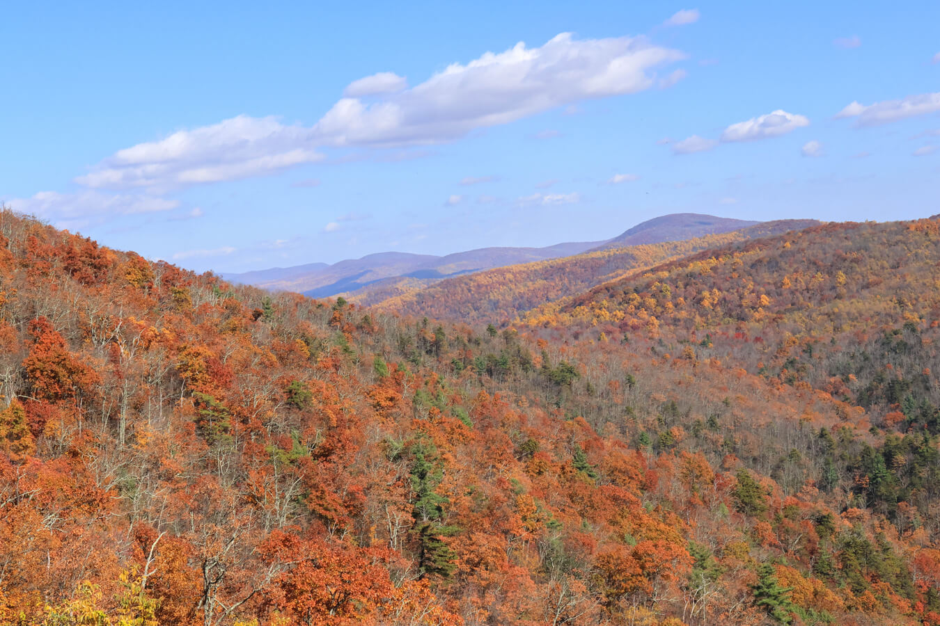
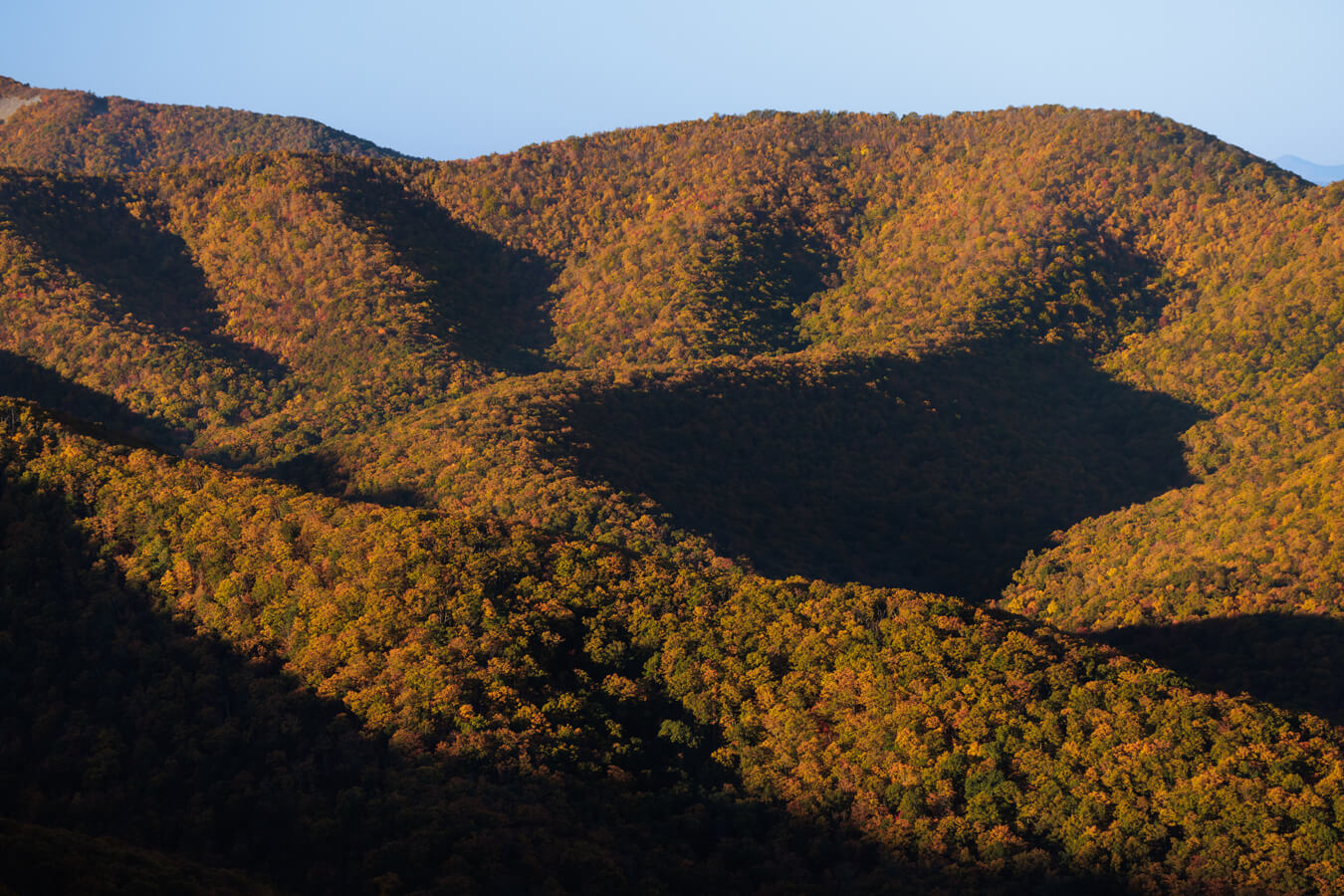
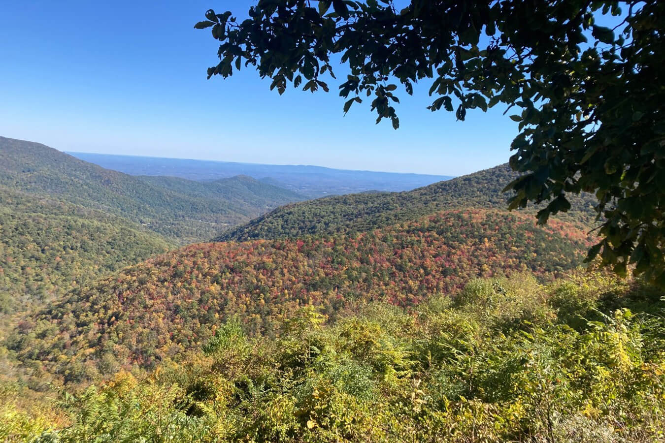
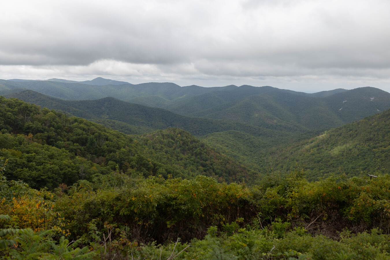
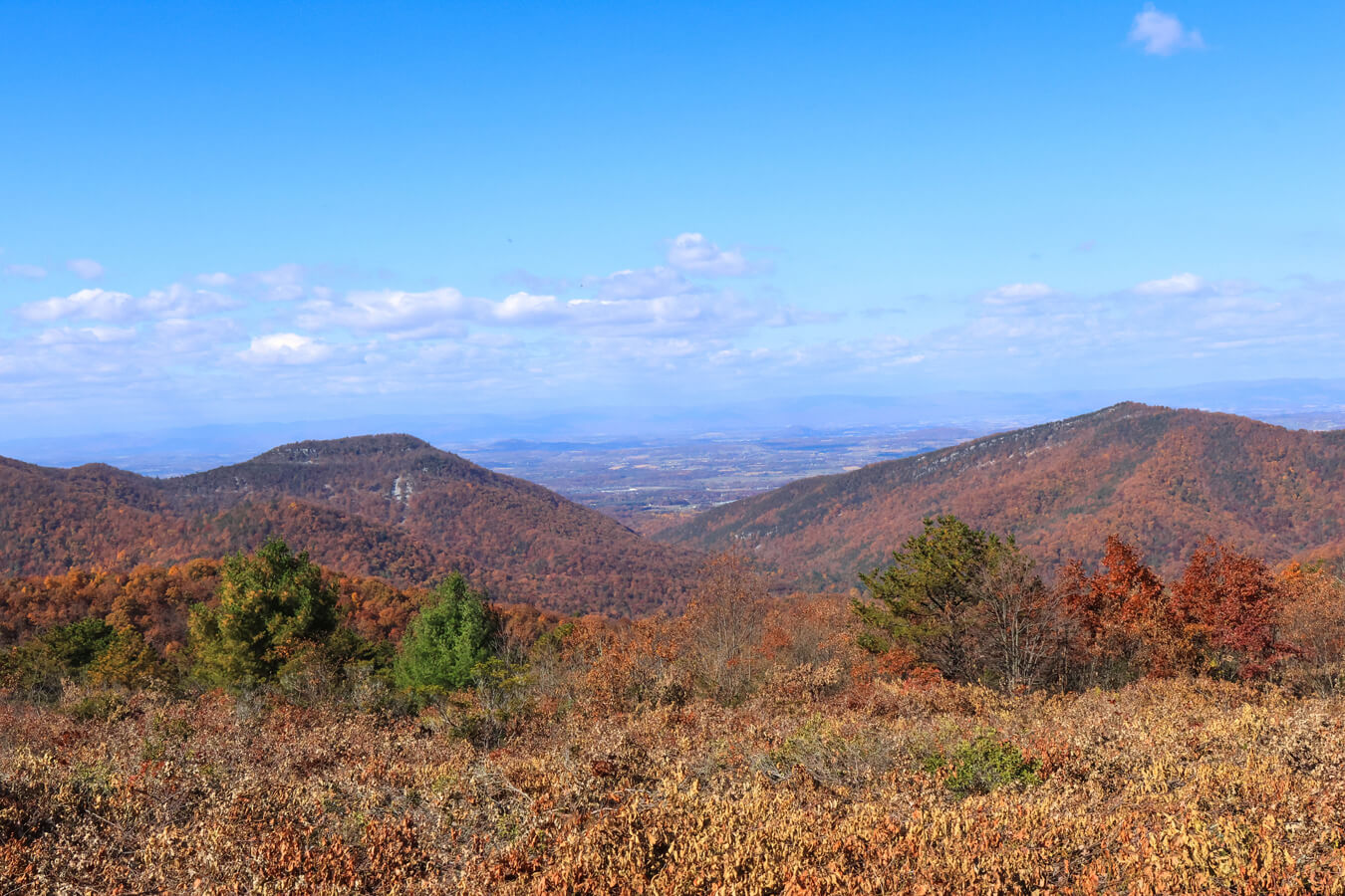
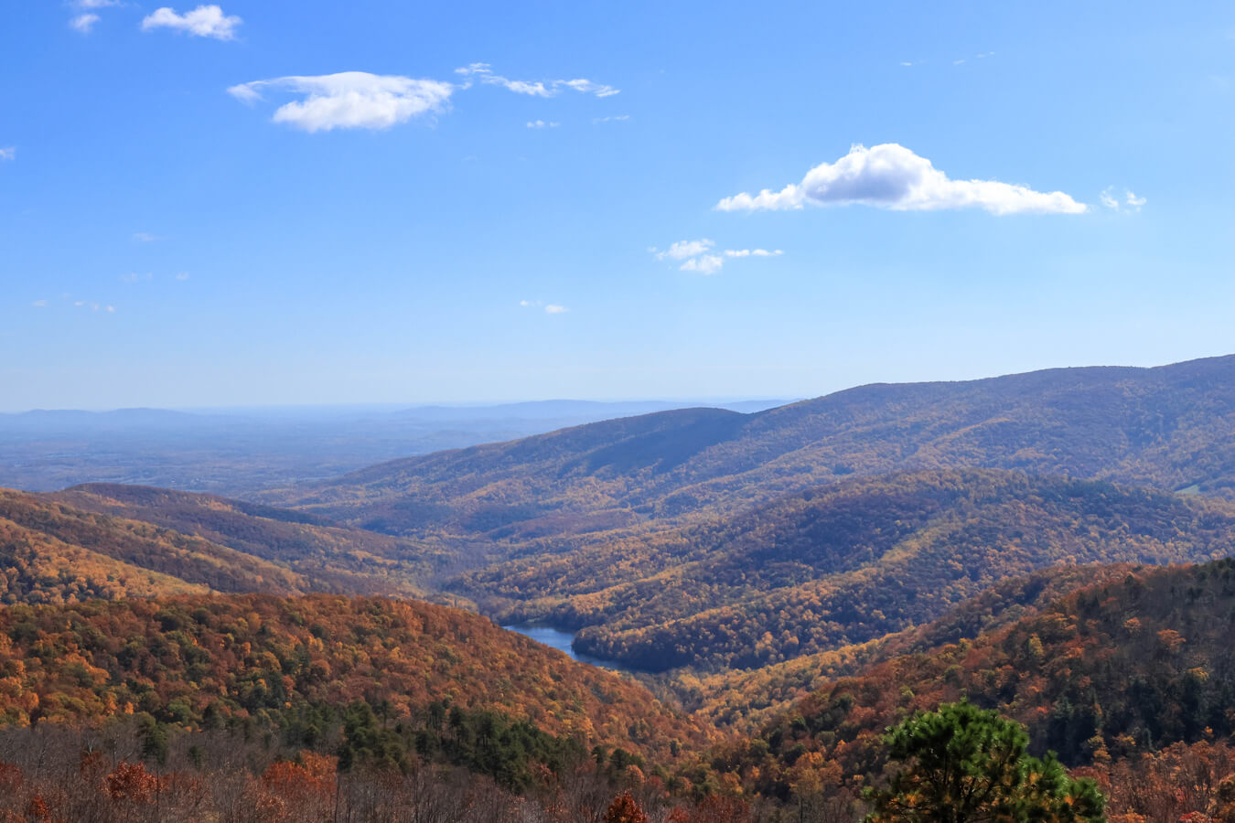
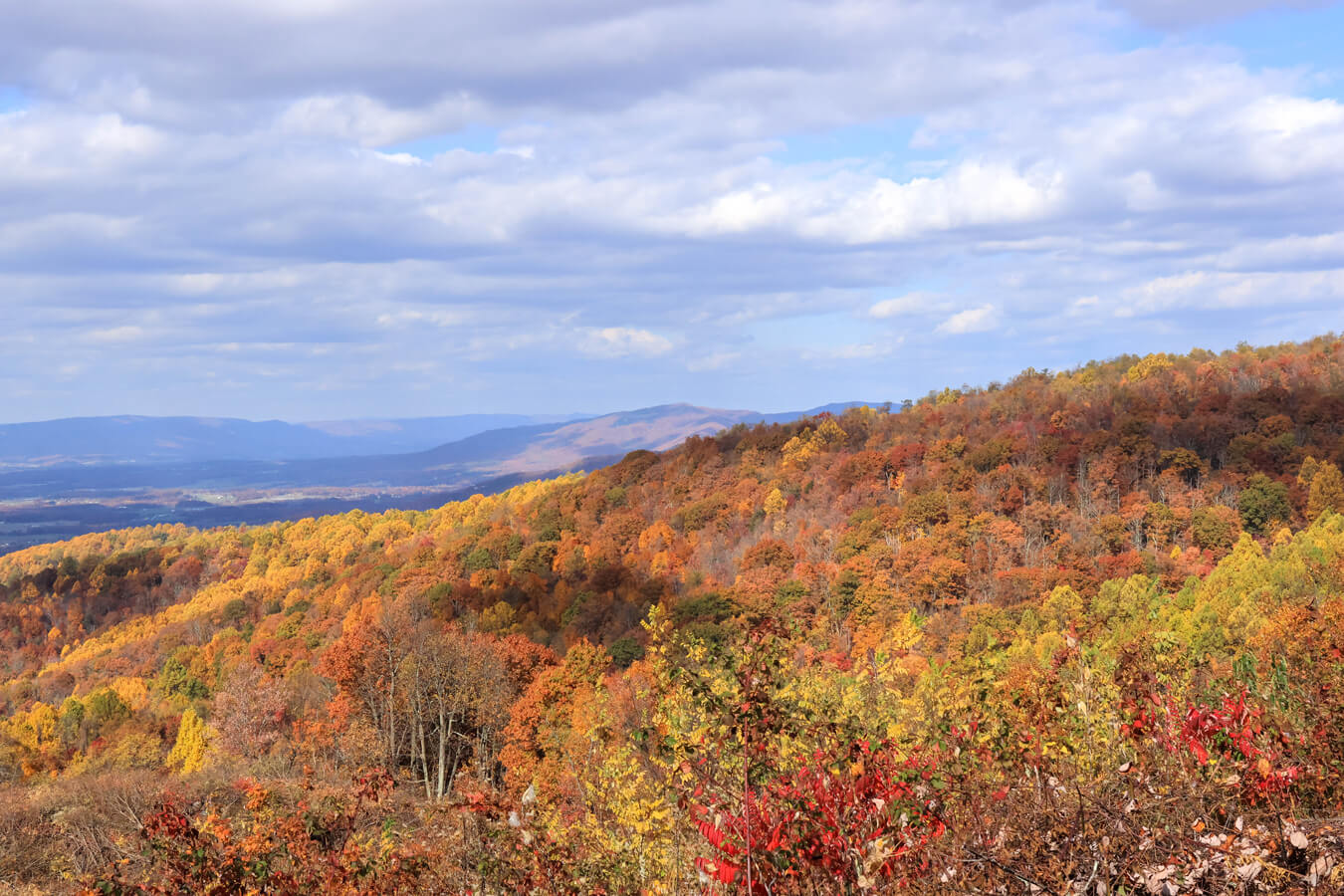
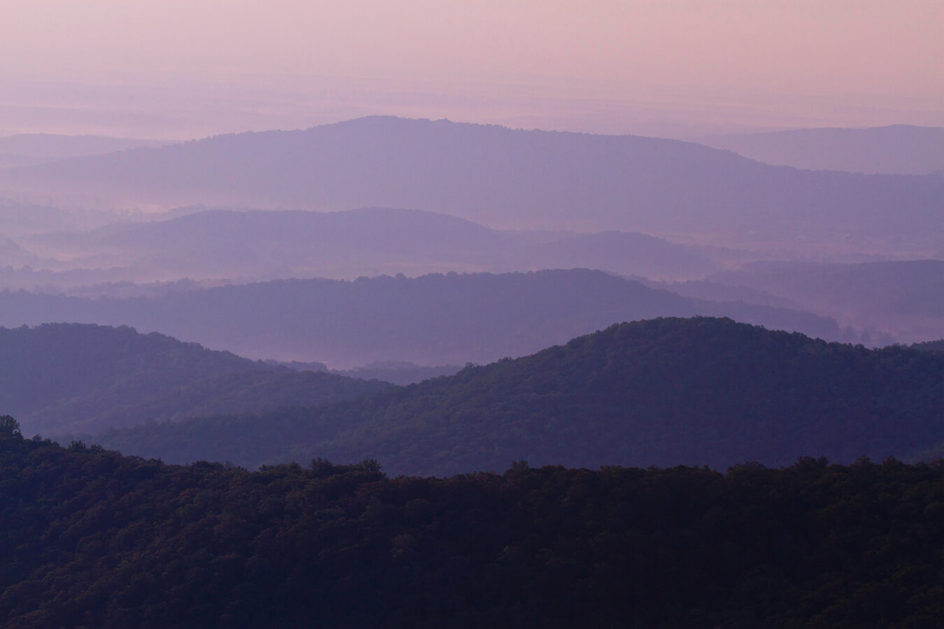
Nestled in Virginia’s Blue Ridge Mountains, Shenandoah National Park is a haven of natural beauty with its 105-mile Skyline Drive serving as the park’s scenic backbone. This iconic road, stretching from Front Royal to Rockfish Gap, offers breathtaking vistas at its 75 overlooks, each providing unique perspectives of the Shenandoah Valley to the west and the Virginia Piedmont to the east. Spaced roughly every 1.5 miles, these pullouts invite travelers to pause, snap photos, and soak in the park’s tranquility, making Skyline Drive’s overlooks an essential experience for visitors seeking to capture Shenandoah’s timeless allure.
Map of Skyline Drive Overlooks
Accessing the Skyline Drive Overlooks
There are a few different ways to access the Skyline Drive and its overlooks. The most popular way to experience the whole of Skyline Drive is by taking either the Front Royal Entrance or the Rockfish Gap Entrance. These entrances allow drivers and passengers alike to experience the entire length of Skyline Drive without any backtracking. If visiting or driving by every overlook in the park is not a priority, the Thornton Gap Entrance and the Swift Run Gap Entrance are both excellent entries into the park. These entrances allow easy access to the central portion of Skyline Drive.
Driving the entire 105-mile length of Skyline Drive in Shenandoah National Park typically takes about 3 hours without stops due to the road’s 35 mph speed limit. However, with stops at the 75 scenic overlooks, trails, or visitor centers (e.g., Dickey Ridge at milepost 4.6 or Big Meadows at milepost 51.2), the journey often extends to 5–7 hours or more. For a leisurely experience with photography breaks, plan for a full day, checking NPS for road conditions before you go.
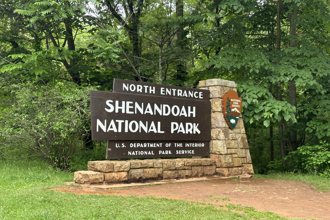
Front Royal Entrance (North Entrance)
Starting Location: Front Royal, Virginia
GPS (DD): 38.903040, -78.192568
The Front Royal Entrance marks the northern gateway to Shenandoah National Park at milepost 0.6 on Skyline Drive, welcoming visitors with its historic charm and proximity to the town of Front Royal, Virginia. Accessible via US-340, this entrance (GPS: 38.903040, -78.192568) opens the door to the park’s 105-mile scenic drive offering immediate access to the Dickey Ridge Area’s trails and overlooks, like Signal Knob Overlook (milepost 5.5). This is a great location to begin your photogenic journey through the Blue Ridge Mountains’ breathtaking vistas and wildlife-rich landscapes.
Thornton Gap Entrance (Central District Entrance)
Starting Location: Luray, Virginia
GPS (DD): 38.662418, -78.320803
The Thornton Gap Entrance, located at milepost 31.5 on Skyline Drive, serves as a vital gateway to Shenandoah National Park, accessible via US-211 near Luray, Virginia (GPS: 38.662418, -78.320803). This entrance welcomes visitors into the park’s Central District, offering quick access to iconic sites like Mary’s Rock Tunnel (milepost 32.2) and Hazel Mountain Overlook (milepost 33.0). Its strategic location makes it a popular starting point for exploring the Blue Ridge Mountains’ scenic trails and overlooks, capturing the park’s rugged beauty and vibrant seasonal landscapes.
Swift Run Gap Entrance (South District Entrance)
Starting Location: Elkton, Virginia
GPS (DD): 38.358738, -78.547062
The Swift Run Gap Entrance, situated at milepost 65.7 on Skyline Drive, is a key entry point to Shenandoah National Park, accessible via US-33 near Elkton, Virginia (GPS: 38.358738, -78.547062). This station welcomes visitors to the park’s South District, offering immediate access to scenic trails like South River Overlook (milepost 62.7) and stunning overlooks such as Swift Run Overlook (milepost 67.0). Its central location along the 105-mile Skyline Drive makes it a fantastic starting point for capturing the Blue Ridge Mountains’ breathtaking vistas, vibrant fall foliage, and serene landscapes.
Rockfish Gap Entrance (South Entrance)
Starting Location: Waynesboro, Virginia
GPS (DD): 38.037657, -78.856032
The Rockfish Gap Entrance, the southern gateway to Shenandoah National Park at milepost 104.6 on Skyline Drive, marks the transition from the Blue Ridge Parkway near Waynesboro, Virginia to the park’s scenic splendor and 105-mile scenic drive. It is accessible via I-64 and US-250 (GPS: 38.037657, -78.856032). This entrance welcomes visitors with its rustic charm. Travelers can explore southern overlooks like McCormick Gap (milepost 102.5) or venture into the park’s lush trails, capturing the Blue Ridge Mountains’ dramatic vistas and vibrant fall foliage.
Driving Tips for Skyline Drive
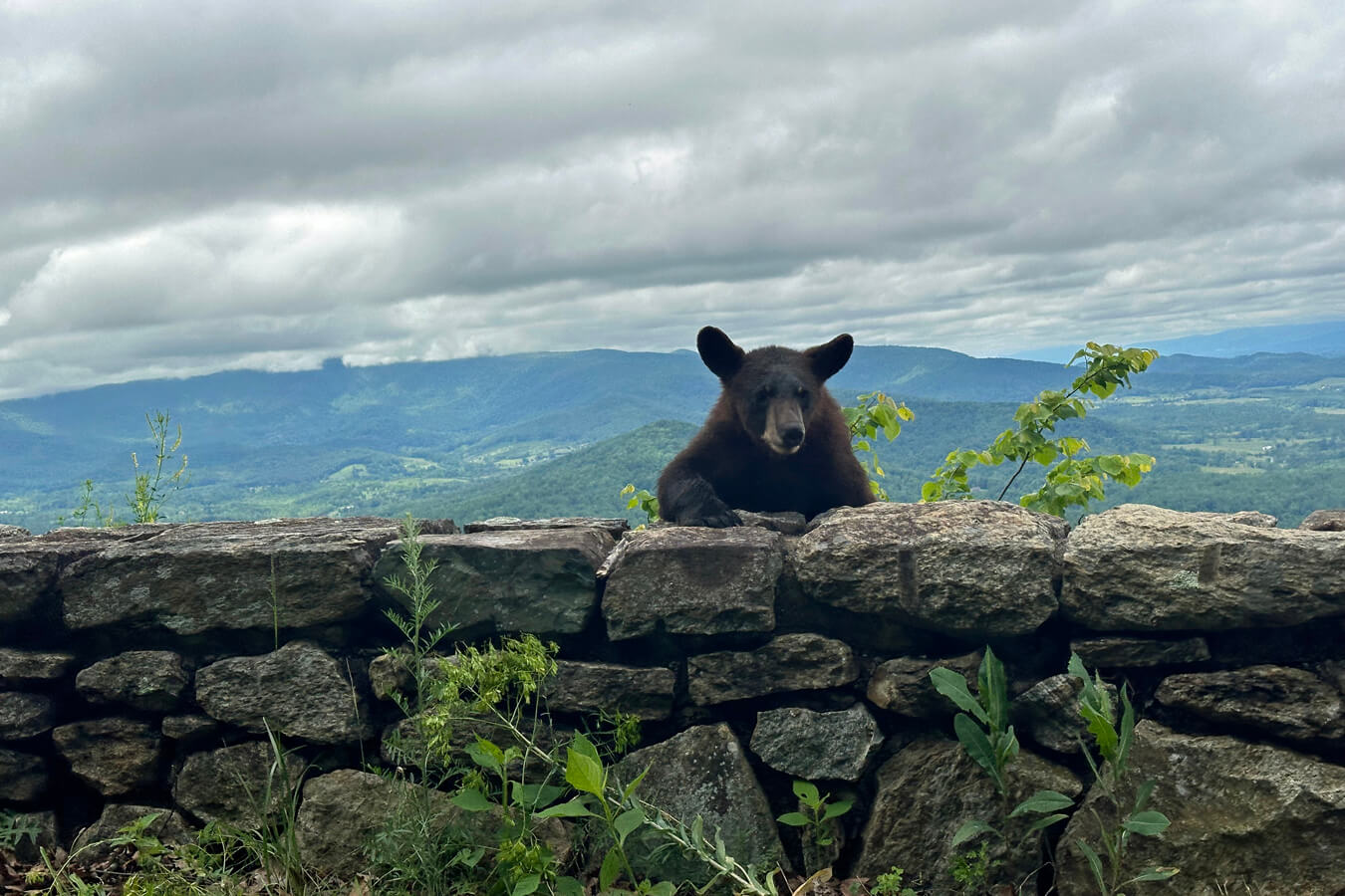
Driving Skyline Drive in Shenandoah National Park requires a mindful approach to fully enjoy its 105-mile scenic beauty while ensuring safety. The speed limit is 35 mph, encouraging a leisurely pace to savor the 75 overlooks and winding curves. Stay alert for wildlife crossings, such as deer and black bears, especially at dawn and dusk, and be prepared to stop. Keep a safe distance from animals and avoid feeding them. Pull over only at designated overlooks to avoid blocking the narrow road, and check NPS for road closures due to weather, particularly in winter. With no gas stations along the drive, fuel up beforehand, and take your time to capture the stunning vistas and tranquility of the Blue Ridge Mountains.
The Skyline Drive Overlooks
Shenandoah National Park, is renowned for its 75 breathtaking overlooks. These stops invite travelers to pause and take in the park’s timeless beauty and give plenty of opportunities to take breaks throughout the drive. Here is a complete list of every overlook:
North District | Mileposts 0–31.5
Dickey Ridge Area | Mileposts 0.0 to 9.2
- Shenandoah Valley Overlook (Milepost: 2.8, Side: West, Elevation: 1,390 ft (423 m))
- Dickey Ridge Visitors Center (Milepost: 4.6, Side: West, Elevation: 1,390 ft (423 m))
- No Name Overlook (Milepost: 5.3, Side: West, Elevation: 1,985 ft (605 m))
- Signal Knob Overlook (Milepost: 5.5, Side: West, Elevation: 2,090 ft (637 m)
- Gooney Run Overlook (Milepost: 6.8, Side: West, Elevation: 2,085 ft (635 m))
- Gooney Manor Overlook (Milepost: 7.2, Side: West, Elevation: 1,930 ft (588 m))

Compton Gap Area | Mileposts 9.2 to 19.4
- Indian Run Overlook (Milepost: 10.5, Side: East, Elevation: 2,400 ft (731 m))
- Jenkins Gap Overlook (Milepost: 12.0, Side: East, Elevation: 2,355 ft (717 m))
- Hogwallow Flats Overlook (Milepost: 13.6, Side: East, Elevation: 2,665 ft (812 m))
- Browntown Valley Overlook (Milepost: 15.0, Side: West, Elevation: 2,890 ft (880 m))
- Range View Overlook (Milepost: 17.0, Side: East, Elevation: 2,810 ft (856 m))
- Gimlet Ridge Overlook (Milepost: 18.5, Side: West, Elevation: 2,675 ft (815 m))
- Mount Marshall Overlook (Milepost: 19, Side: East, Elevation: 2,850 ft (868 m))
Keyser Run Area | Mileposts 19.4 to 24.0
- Little Hogback Overlook (Milepost: 19.4, Side: West, Elevation: 3,035 ft (925 m))
- Little Devil Stairs Overlook (Milepost: 20.0, Side: East, Elevation: 3,120 ft (950 m))
- Hogback Overlook (Milepost: 20.7, Side: West, Elevation: 3,385 ft (1031 m))
- Rattlesnake Point Overlook (Milepost: 21.0, Side: East, Elevation: 3,105 ft (946 m))
Mathews Arm Area | Mileposts 22.1 to 31.5
- Elkwallow Wayside Store (Milepost: 24.0, Side: West, Elevation: ~2,440 ft (743 m))
- Jeremys Run Overlook (Milepost: 26.5, Side: West, Elevation: 2,410 ft (734 m))
- Thornton Hollow Overlook (Milepost: 27.5, Side: East, Elevation: 2,460 ft (749 m))
- Beahms Gap Overlook (Milepost: 28.5, Side: West, Elevation: 2,485 ft (757 m))
- Pass Mountain Overlook (Milepost: 30.0, Side: West, Elevation: 2,460 ft (749 m))
Central District | Mileposts 31.5–65.7
Thornton Gap Area | Mileposts 31.5 to 39.0
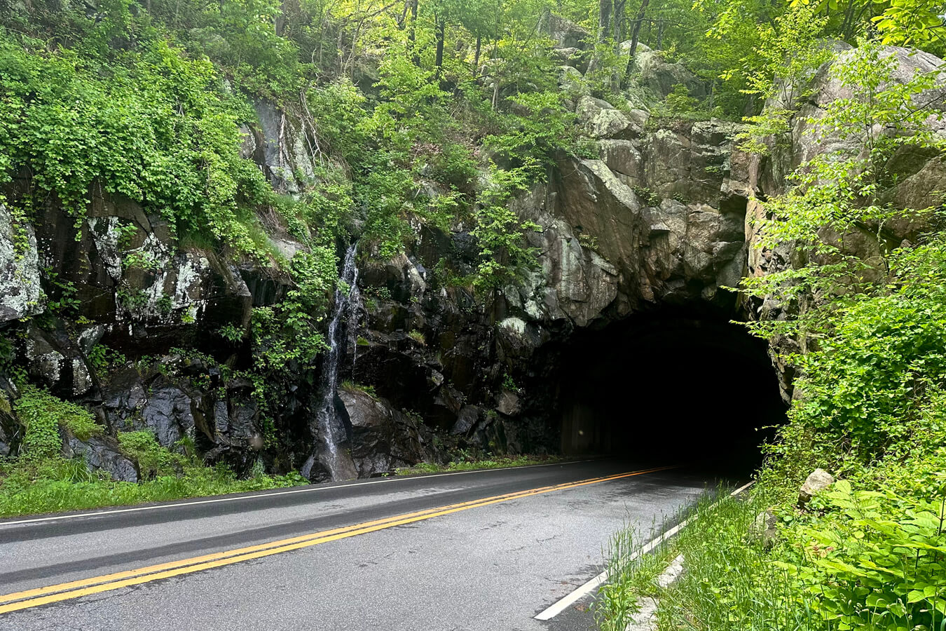
- Mary’s Rock Tunnel (Milepost: 32.2, Side: East, Elevation: 2,510 ft (765 m))
- Tunnel Parking Overlook (Milepost: 32.5, Side: East, Elevation: 2,510 ft (765 m))
- Buck Hollow Overlook (Milepost: 32.8, Side: East, Elevation: 2,545 ft (775 m))
- Hazel Mountain Overlook (Milepost: 33.0, Side: East, Elevation: 2,770 ft (844 m))
- Pinnacles Overlook (Milepost: 35.0, Side: East, Elevation: 3,320 ft (1011 m))
- Jewell Hollow Overlook (Milepost: 36.5, Side: West, Elevation: 3,320 ft (1,011 m))
- Stony Man Mountain Overlook (Milepost: 38.5, Side: West, Elevation: 3,100 ft (944 m))

Skyland Area (includes Whiteoak Canyon Area & Hawksbill Area) | Mileposts 39.0 to 49.4
- Hemlock Springs Overlook (Milepost: 40.0, Side: East, Elevation: 3,380 ft (1030 m))
- Thorofare Mountain Overlook (Milepost: 40.5, Side: East, Elevation: 3,595 ft (1,095 m))
- Skyland Resort (Milepost: 42.0, Side: East, Elevation: 3,680 ft (1,121 m)))
- Timber Hollow Overlook (Milepost: 43.0, Side: West, Elevation: 3,360 ft (1,024 m))
- Crescent Rock Overlook (Milepost: 44.0, Side: West, Elevation: 3,550 ft (1,082 m))
- Old Rag View Overlook (Milepost: 46.5, Side: East, Elevation: 3,585 ft (1,092 m))
- Spitler Knoll Overlook (Milepost: 48.0, Side: West, Elevation: 3,285 ft (1,001 m))
- Franklin Cliffs Overlook (Milepost: 49.0, Side: West, Elevation: 3,140 ft (957 m))
Big Meadows Area (includes Rapidan Camp Area) | Mileposts 49.4 to 56.4
- Fishers Gap Overlook (Milepost: 49.5, Side: West, Elevation: 3,070 ft (935 m))
- Big Meadows Visitor Center aka. Harry F. Byrd Sr. Visitor Center (Milepost: 51.2, Side: West, Elevation: ~3,548 ft (1,081 m).)
- Tanners Ridge Overlook (Milepost: 51.5, Side: West, Elevation: 3,465 ft (1,056 m))
- Naked Creek Overlook (Milepost: 53.0, Side: West, Elevation: 3,250 ft (990 m))
- Hazeltop Ridge Overlook (Milepost: 54.5, Side: West, Elevation: 3,265 ft (995 m))
- The Point Overlook (Milepost: 55.5, Side: West, Elevation: 3,235 ft (986 m))

Bearfence Area | Mileposts 56.4 to 62.8
- Lewis Mountain Cabins & Campground (Milepost: 57.5, Side: East, Elevation: ~3,400 ft (1,036 m))
- The Oaks Overlook (Milepost: 59.0, Side: East, Elevation: 3,125 ft)
- Baldface Mountain Overlook (Milepost: 61.0, Side: West, Elevation: 3,325 ft (1013 m))
- South River Overlook (Milepost: 62.7, Side: West, Elevation: 3,295 ft)
South District | Mileposts 65.7–105.4
South River Area | Mileposts 62.8 to 79.5
- Hensley Hollow Overlook (Milepost: 63.5, Side: East, Elevation: 2,560 ft (780 m))
- Swift Run Overlook (Milepost: 67.0, Side: West, Elevation: 2,710 ft (826 m))
- Sandy Bottom Overlook (Milepost: 67.5, Side: West, Elevation: 2,700 ft (822 m))
- Bacon Hollow Overlook (Milepost: 69.0, Side: East, Elevation: 2,450 ft (746 m))
- Eaton Hollow Overlook (Milepost: 70.5, Side: West, Elevation: 2,500 ft (762 m))
- Rocky Mount Overlook (Milepost: 71.1, Side: West, Elevation: 2,450 ft (746 m))
- Beldore Hollow Overlook (Milepost: 72.0, Side: West, Elevation: 2,345 ft (714 m))
- Loft Mountain Overlook (Milepost: 74.5, Side: East, Elevation: 2,450 ft (746 m))
- Two Mile Run Overlook (Milepost: 76.0, Side: West, Elevation: 2,770 ft (844 m))
- Brown Mountain Overlook (Milepost: 77.0, Side: West, Elevation: 2,840 ft (865 m))
- Ivy Creek Overlook (Milepost: 77.5, Side: East, Elevation: 2,885 ft (879 m))
- Rockytop Overlook (Milepost: 78.0, Side: West, Elevation: 2,860 ft (871 m))
Loft Mountain Area | Mileposts 79.5 to 90.0
- Loft Mountain Information Center & Campground (Milepost: 80.0, Side: East, Elevation: ~3,018 ft (919 m))
- Big Run Overlook (Milepost: 81.0, Side: West, Elevation: 2,860 ft (871 m))
- Doyles River Overlook (Milepost: 82.0, Side: East, Elevation: 2,870 ft (874 m))
- Dundo Overlook (Milepost: 83.5, Side: West, Elevation: 2765 ft (842 m))
- Dundo Campgrounds (Milepost: 83.7, Side: East, Elevation: ~2,778 ft (846.7 m))
- Trayfoot Mountain Overlook (Milepost: 87.0, Side: East, Elevation: 2,575 ft (784 m))
- Horsehead Overlook (Milepost: 88.5, Side: West, Elevation: 2,575 ft (784 m))


Riprap Area | Mileposts 90.0 to 105.4
- Riprap Overlook (Milepost: 91.5, Side: West, Elevation: 2,920 ft (890 m))
- Moormans River Overlook (Milepost: 91.3, Side: East, Elevation: 2,975 ft)
- Crimora Lake Overlook (Milepost: 92.6, Side: West, Elevation: 2,985 ft)
- Turk Gap Overlook (Milepost: 94.0, Side: West, Elevation: 2,700 ft)
- Sawmill Run Overlook (Milepost: 95.3, Side: West, Elevation: 2,200 ft (670 m))
- Sawmill Ridge Overlook (Milepost: 95.5, Side: West, Elevation: 2,210 ft (673 m))
- Calf Mountain Overlook (Milepost: 99.0, Side: West, Elevation: 2,485 ft (757 m))
- Beagle Gap Overlook (Milepost: 100.0, Side: East, Elevation: 2,490 ft (758 m))
- McCormick Gap Overlook (Milepost: 102.5, Side: West, Elevation: 2,455 ft (748 m))
Recommended Emergency Supplies in Shenandoah National Park
Although Shenandoah National Park does have visitors regularly and Skyline Drive is a well-traveled road, it is always smart to be prepared for an emergency. This is especially true whenever hiking, backcountry camping or visiting the park during non-peak hours. Be sure to bring extra emergency supplies with you whenever exploring the great outdoors. Here is a small list of recommended items to bring when you visit Skyline Drive:
- Water
- Food
- Gas
- Extra Clothing/Layers
- A Shovel
- Toilet Paper/Wipes and Bags (Remember to leave no trace ;))
- First Aid Kit
- Roadside Emergency Kit
- Map
- Additional Emergency Supplies (Click here for a complete list of our recommended photography and hiking gear)
There is no potable water or bathrooms in the Shenandoah National Park backcountry, so if you plan on leaving Skyline Drive to venture deeper into the mountains make sure you are be prepared. Bring more water than you think you need or a way to purify it. If you are not comfortable going to the bathroom outside, you may also want to bring a small pop-up tent and portable toilet with you.
Be Prepared for Limited to no Cell Service
There is limited to no cell phone service in various parts of Shenandoah National Park. Because of that, it is a good idea to let someone know where you are going as a backup in case something happens. Even a screenshot text to a friend or family member prior to entering the area would work.
It would also be helpful to have some sort of map or GPS-tracking device to help you navigate the trails and roads. Even when you don’t think you will get lost, if the trails or roads are poorly marked, it is a possibility. Some GPS trackers, like the Garmin inReach and the Garmin inReach Mini, can also communicate your location to others. At a minimum, have a printed copy of the maps and hiking trails or download them to your phone.
Best Time of Year to Visit Skyline Drive
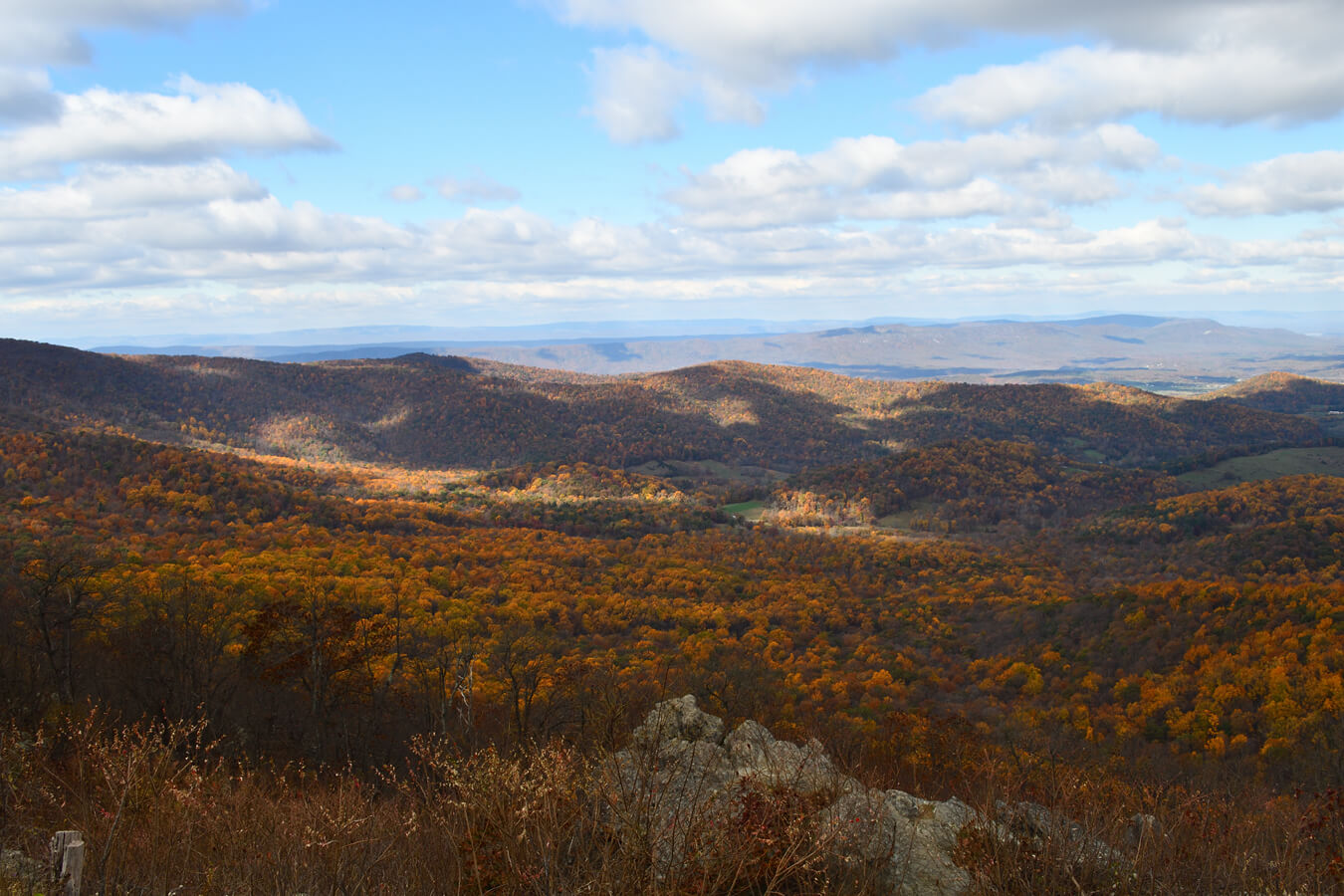
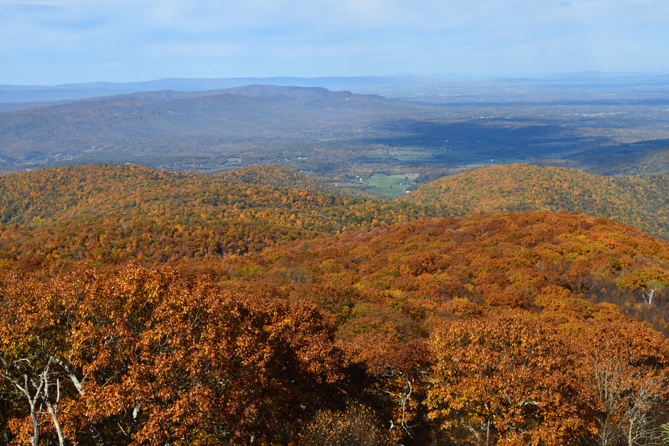
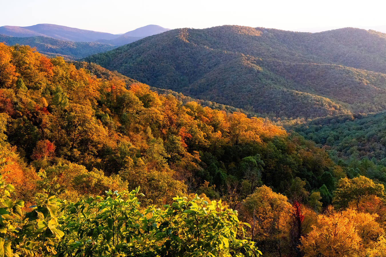
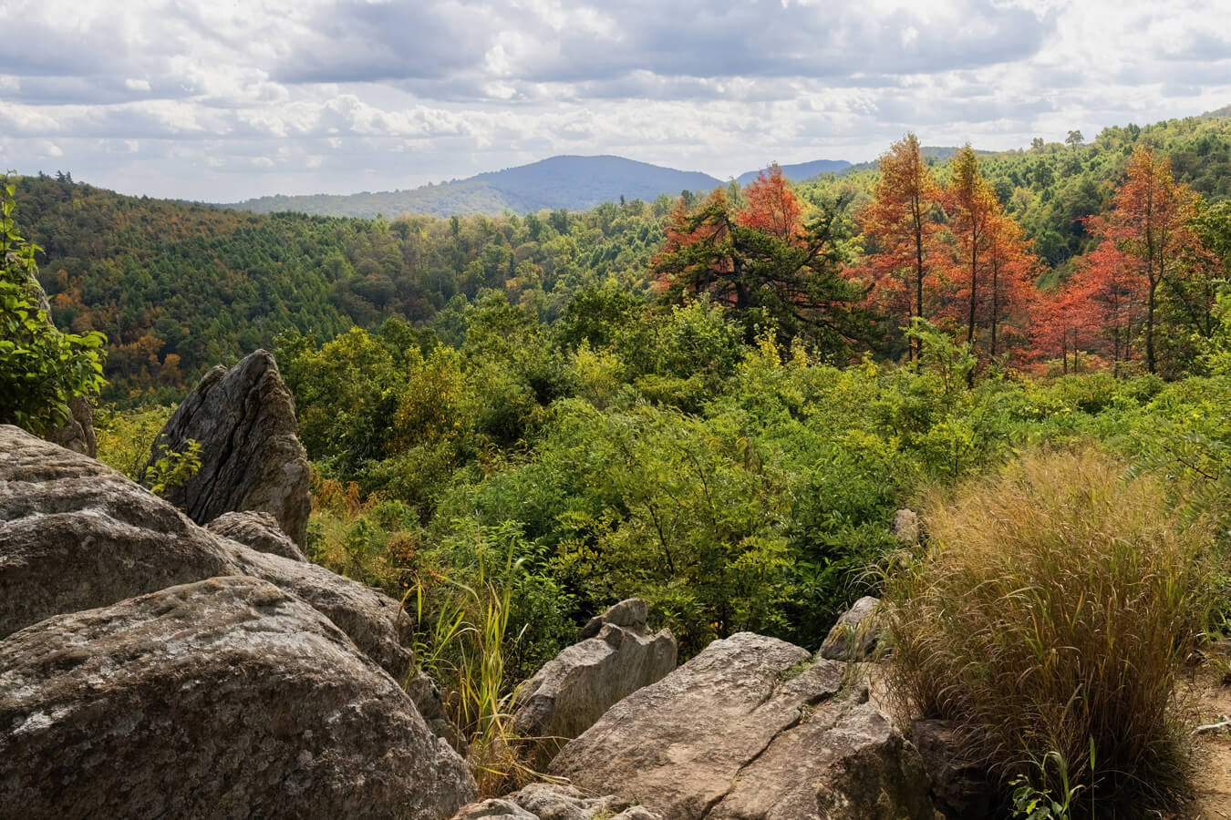
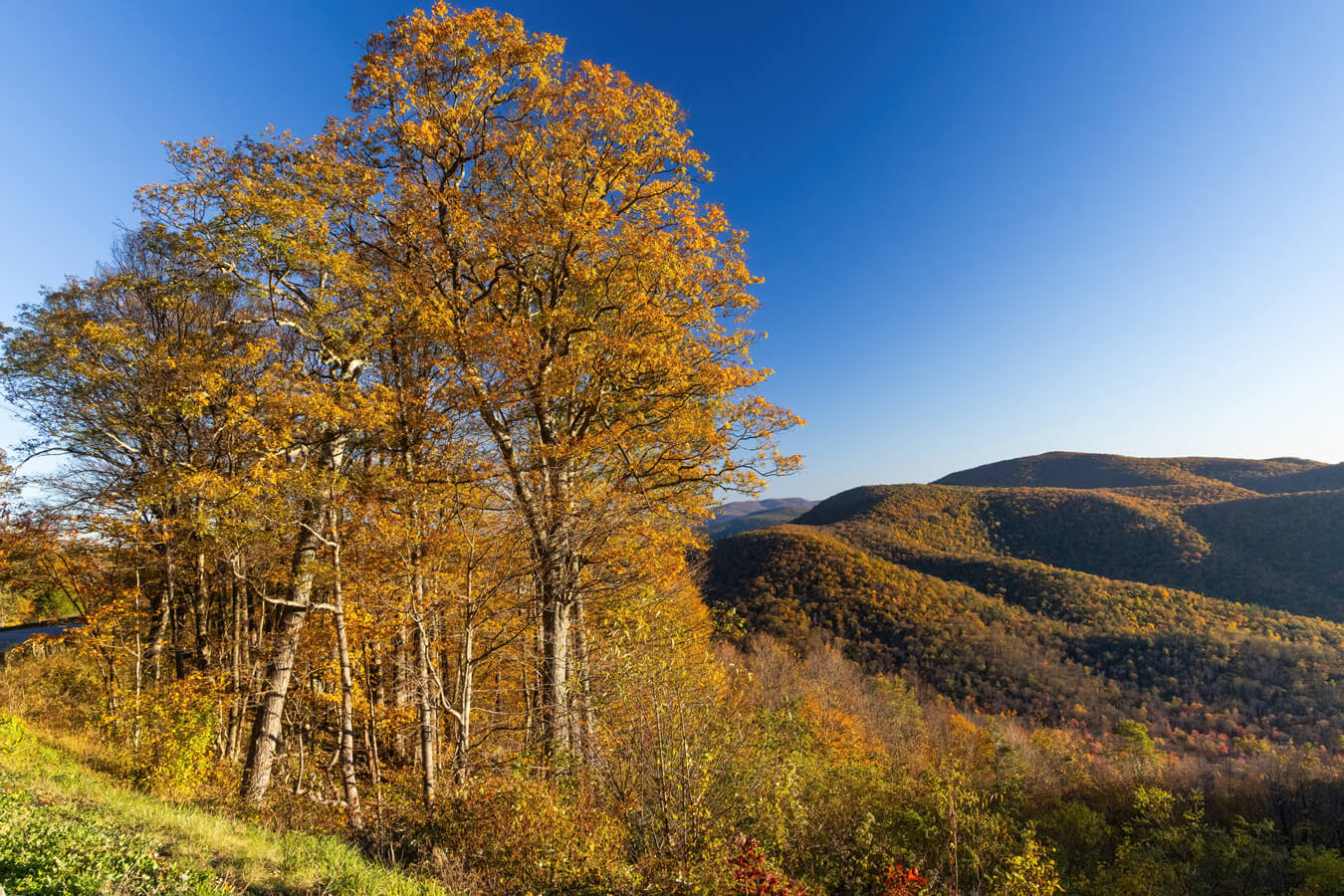
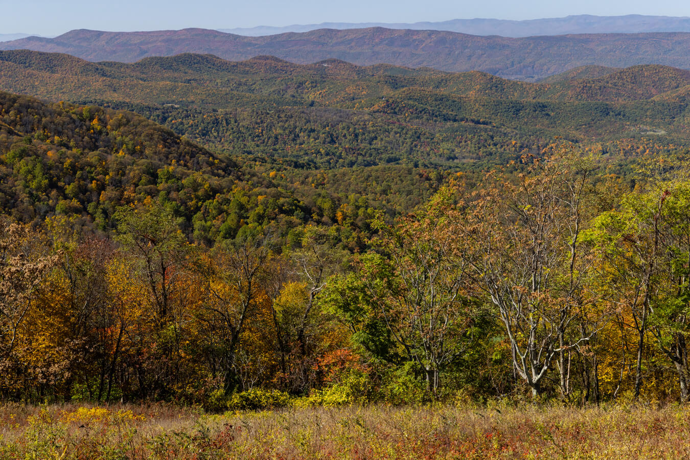
Skyline Drive is open year-round however according to the NPS website, “portions of Skyline Drive, the only public road through the Park, are periodically closed during inclement weather.” Due to possible closures, especially in the winter months, the spring, summer and fall months are generally the best time to go. Fall in particular is favorite time to visit the park due to the vibrant fall foliage from late September through October. Spring time is also popular because of the blooming wildflowers and summer is a great time top beat the heat in the park’s higher elevations. Be sure to check the local weather forecast before heading into Shenandoah National Park and enjoying Skyline Drive.
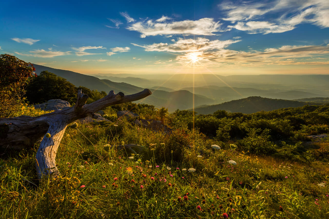
Photographing Skyline Drive Overlooks
The Skyline Drive Overlooks are easy to access as they are off the main road and don’t require hiking, but can be challenging to photograph at times. The overlooks face either west or east, creating dramatic lighting shifts. West-facing overlooks are ideal for sunset but can suffer from harsh backlighting or lens flare, while east-facing ones experience similar issues at sunrise. Midday light often flattens landscapes, reducing depth.
Additionally, many overlooks have minimal foreground features beyond stone walls or gravel, making compositions repetitive. Some overlooks have narrow pullouts or uneven surfaces, limiting tripod placement. Vegetation can also be a hinderance, obstructing views. Having said that, with a little creativity and some experimenting (different angles and times of day), the Skyline Drive Overlooks can be extremely rewarding to photograph. Bring a wide angle lens with you as well as a decent zoom lens for different angles and detail.
Find Your Favorite Location
No matter where you go in Shenandoah National Park, be sure to take your time and find your favorite location along the way. If you are lucky, you may even spot some wildlife! Don’t forget to add detailed macro shots, change your perspective, and most importantly have fun.
Before making your trip, consider checking the official Shenandoah National Park website or contacting the park’s visitor center for the most up-to-date information on trail conditions, accessibility, and any recent changes. As with any visit to a national park, it’s important to follow park regulations, practice “Leave No Trace” principles, and prioritize safety while exploring this beautiful area. I hope you enjoy your time photographing the Skyline Drive Overlooks!
Happy Travels!
Bonnie, Co-Owner, National Park Photographer
Want to learn more about Shenandoah National Park? Check out these maps, guides & books:
- Shenandoah National Park Map (National Geographic Trails Illustrated Map)
- 101 Travel Bits: Shenandoah National Park & Skyline Drive
- The Undying Past of Shenandoah National Park
- Hiking Shenandoah National Park: A Guide to the Park’s Greatest Hiking Adventures (Regional Hiking Series)
- Best Easy Day Hikes Shenandoah National Park (Falcon Guides; Best Easy Day Hikes)
Please note, by making purchases through our affiliate links, you are supporting our mission to celebrate and showcase our National Parks and the photographers who frequent them. As an Amazon Associate, National Park Photographer earns from qualifying purchases at not cost to you. We appreciate your support.
Featured National Park Photographers:
- Bonnie Clark: Mary’s Rock Tunnel
- NPS: Big Run Overlook, Hazel Mountain Overlook Sunrise, Hogwallow Flats Overlook Sunrise, Ivy Creek Overlook, Moormans River Overlook, Mountain Layers Turks Gap Overlook, Old Rag from Pinnacles Overlook, Pass Mountain Overlook, The Point Overlook, Turks Gap Overlook Mountain View
- NPS / Dave Kiel: Baldface Mountain Overlook, Crescent Rock Overlook Sunrise, Stony Man Overlook
- NPS / Erica Stevens: Crimora Lake Overlook, Eaton Hollow Overlook, Rip Rap Overlook, Trayfoot Mountain Overlook, Two Mile Run Overlook
- NPS / Janet Rigoni: Hazel Mountain Overlook, Hemlock Springs Overlook, Naked Creek Overlook, Spitler Knoll Overlook, The Oaks Overlook, Tunnel Overlook
- NPS / Lara Ellis: Tanners Ridge Overlook
- NPS / Neal Lewis: Sunrise from Buck Hollow Overlook, Sunset from Timber Hollow Overlook
- NPS / Peter Forister: Bacon Hollow Overlook, Brown Mountain Overlook, Horsehead Overlook, Loft Mountain Overlook, Rocky Mount Overlook, Rockytop Overlook, Swift Run Overlook
- NPS / Richard Hayden: Dickey Ridge Overlook, Gimlet Ridge Overlook, Gooney Manor Overlook, Hogback Overlook, Indian Run Overlook, Jenkins Gap Overlook, Jeremys Run Overlook, Range View Overlook, Signal Knob Overlook